
Kilimanjaro – Day 1: Through the Rainforest to Mti Mkubwa
After months of preparation, I finally set off on the Lemosho Route. Day one leads through dense mountain rainforest to Mti Mkubwa Camp—still relatively short, but almost entirely uphill, with the first surprises from my rental gear.
Overview
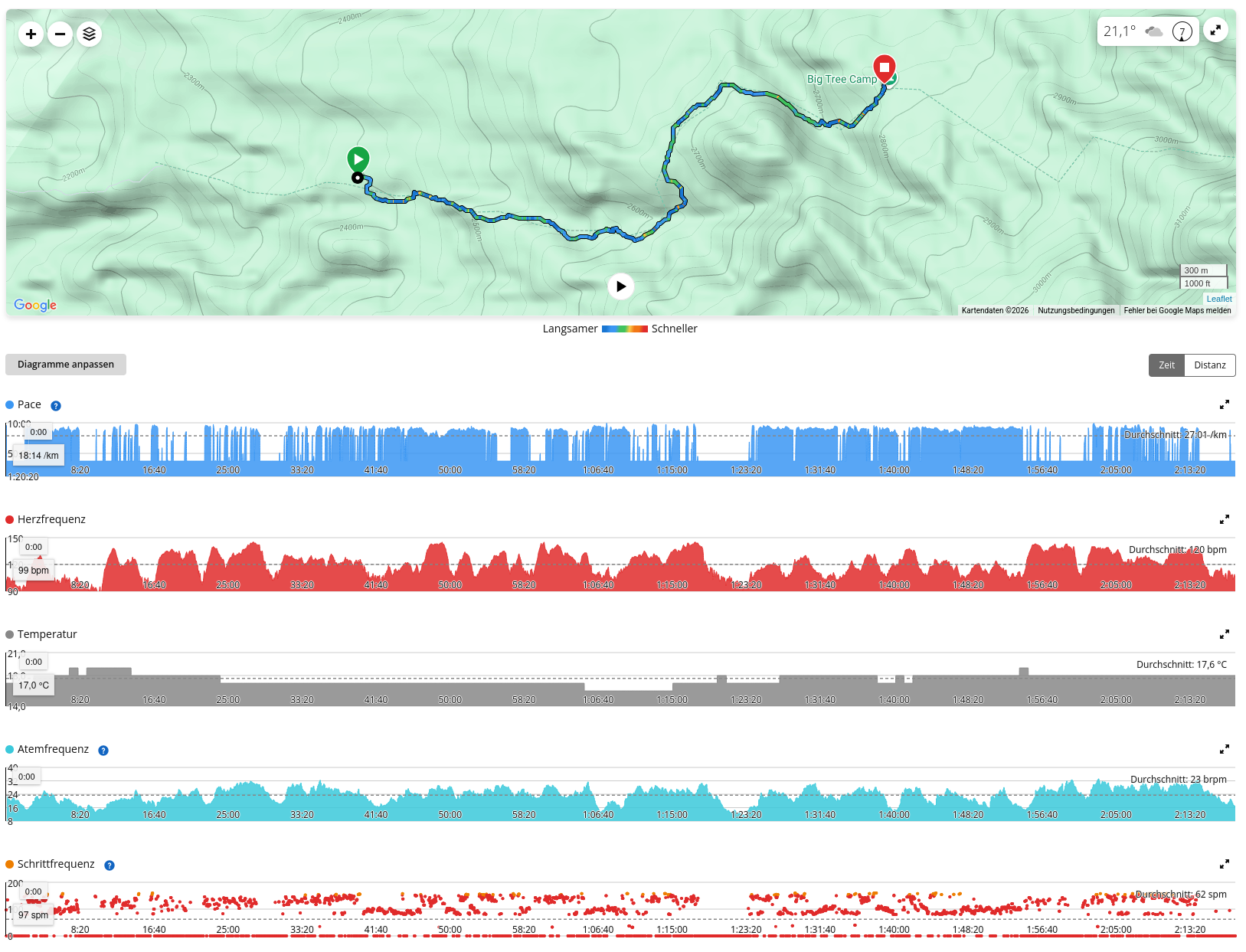
Flyover based on the GPS track
- Date: 19 July 2026
- Route: Lemosho Gate → Mti Mkubwa Camp
- Distance: 5.13 km
- Elevation gain/loss: ↑ 496 m · ↓ 102 m
- Recorded duration: 2:18 h
- Garmin calories burned: 757 kcal
- Elevation:
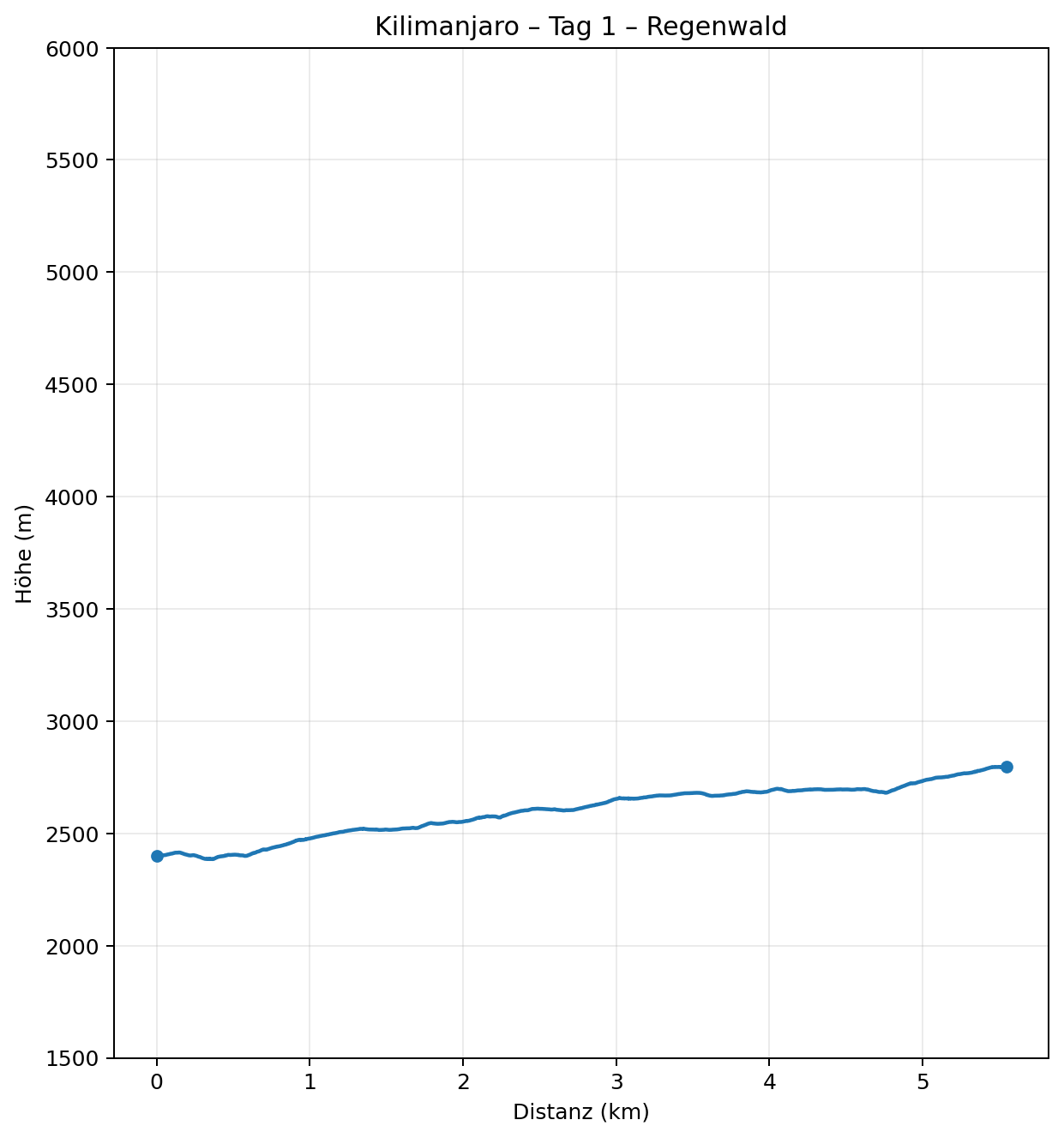
- Start: 2,401 m
- Highest point: 2,810 m
- Finish, Mti Mkubwa: approx. 2,800 m
- Uphill gradient: avg. 11.9% / max. 28.7% over 50 m sections
- Downhill gradient: avg. 6.7% / max. 25.3% over 50 m sections
- Heart rate: avg. 120 / max. 145 bpm
- Temperature: 16–19 °C
- Pulse Ox / SpO₂: 88% at 2,807 m (measurement during the following rest/night phase)
My companions for the next eight days
Besides the mountain itself, today I also get to know the people I’ll be spending the next eight days with. We are a small group of four hikers, initially accompanied mainly by our two guides. We don’t yet know how close you can become in just a few days when you walk, eat, freeze, watch one another and make your way a little higher every day.
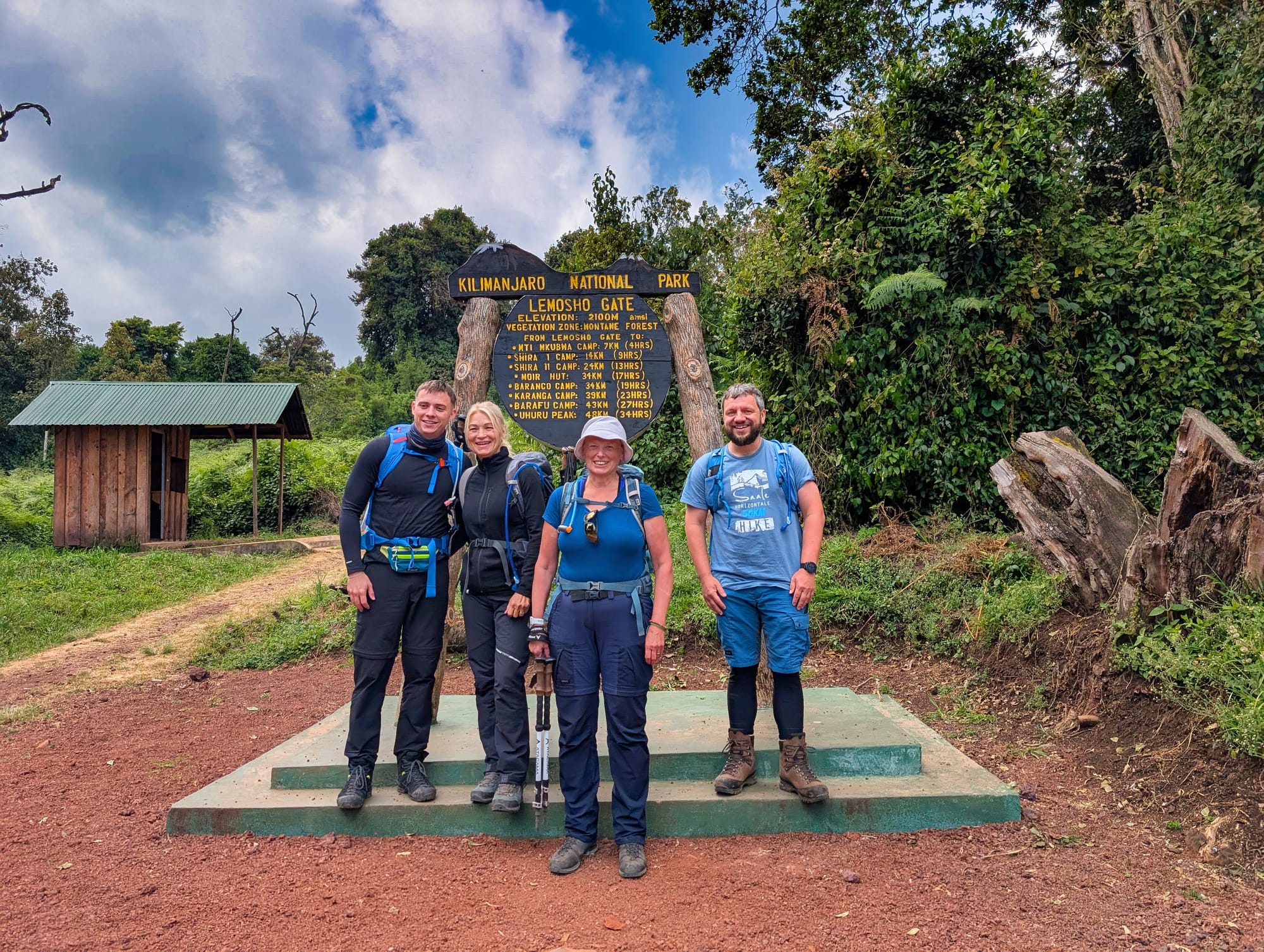
Michi, a young, athletic guy, brings plenty of energy to the team, and we start talking pretty quickly. Within the first few kilometres, it becomes clear that we get on well and that an easy exchange develops naturally. His mum, Andrea, is also with us, and I get on very well with her right from the start. As mother and son, the two are naturally a well-practised team, but I never get the feeling that they are closing themselves off as a pair—quite the opposite: they openly embrace our little travel group. Already, it feels as though we will be able to support each other well along the way.
Our fourth fellow hiker is Angelika. She already has mountain experience of her own and knows Kilimanjaro not just from travel brochures, but has been here herself before, although she did not complete it then. This time, she has also successfully completed Mt. Meru beforehand for acclimatisation. The starting point is a little different for the other three of us, and that is exactly what makes the group interesting: different experiences, different expectations and probably different ways of dealing with the days ahead and the altitude. We are only just getting started, and for now I am especially curious to see how we come together as a group.
Then there are our two guides, Filbert and Godfrid. Filbert is our team’s highly experienced guide and has climbed Kilimanjaro countless times—more than 300 times. You quickly notice that this mountain is not an unfamiliar adventure for him, but familiar terrain. Godfrid supports him as assistant guide and even speaks some German, which is an added help for our group. Both are immediately open and friendly with us, and on a trek where you increasingly have to rely on the guides’ experience and judgement over the coming days, that gives me a good feeling at the start.
Overall, my first impression of the whole group is incredibly positive. The other hikers are nice, as are the guides, and I hope that this feeling carries us through the days ahead. Nobody is exhausted yet, nobody has serious problems with the altitude, and virtually the entire route still lies ahead of us.
At the moment, we are simply four people plus guides and crew setting off together.
In a few days, that will feel much more intense.
Route and landscape
After all those months in which Kilimanjaro consisted mainly of training plans, packing lists, elevation gain and gear decisions, the project suddenly becomes real today.
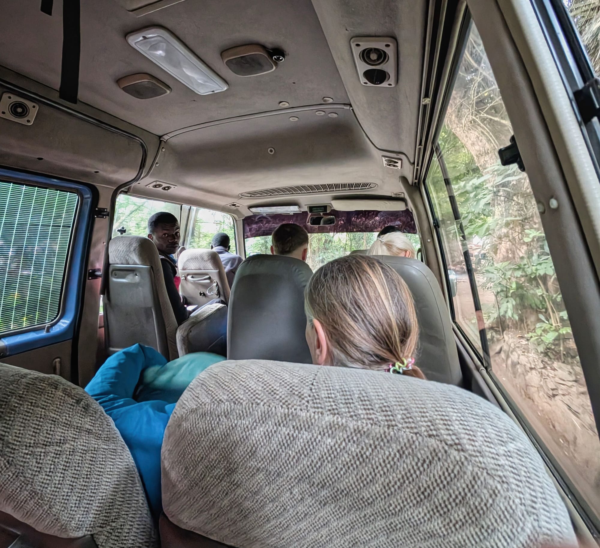
The drive in is long and bumpy. With the local road conditions in Tanzania, distances take longer and are more arduous than I could have imagined.
But after two hours, we arrive at the gate. Now it’s time to tuck into our lunch boxes and wait for the ticket that will let us into the national park.
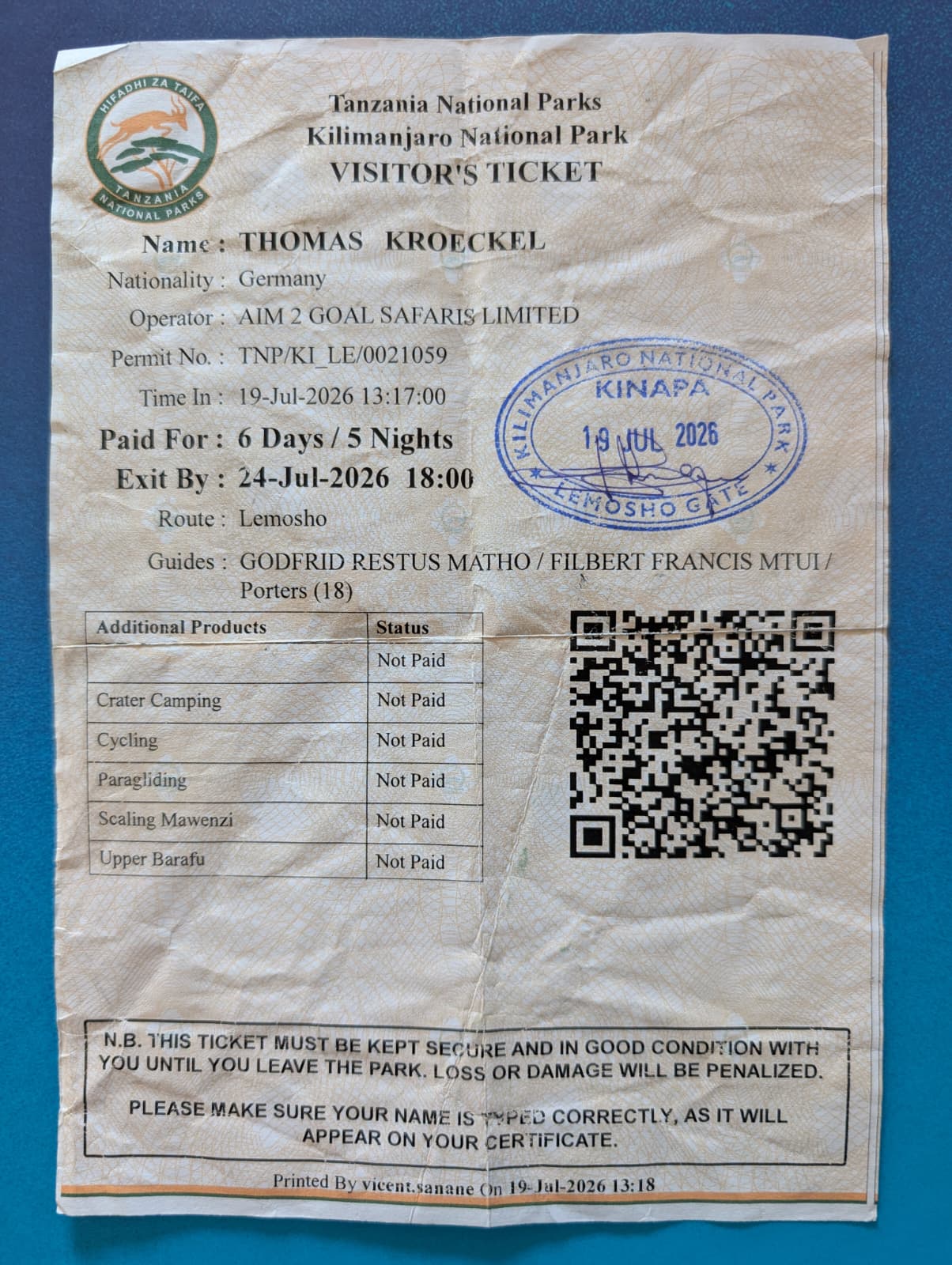
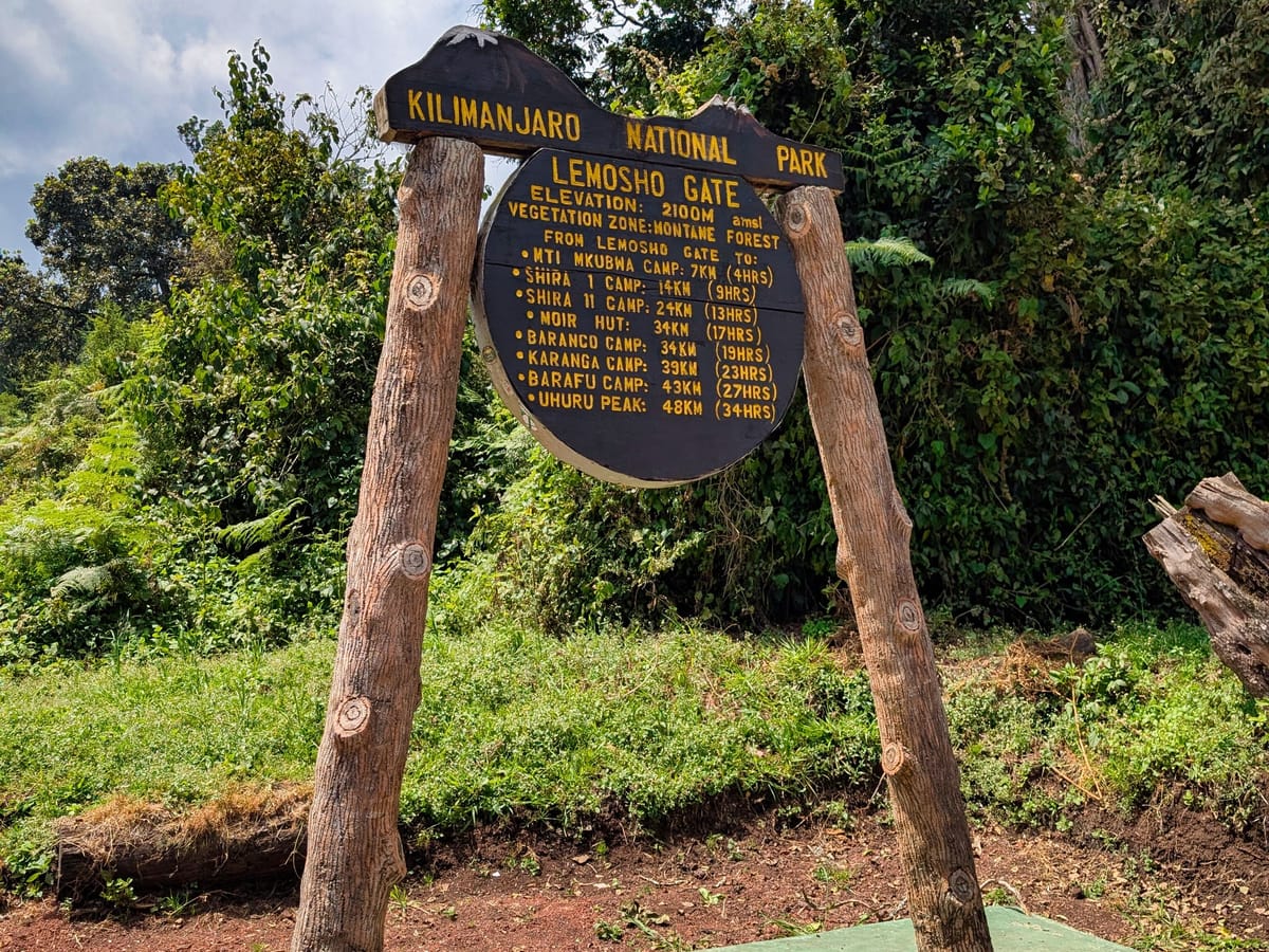
And then it is time: I am standing on the western side of the mountain, at the start of the Lemosho Route, and I really set off. At just over five kilometres and a little more than two hours of recorded time, the first stage is comparatively short, but the nearly 500 metres of elevation gain officially totalled by Garmin are distributed almost entirely across a continuous ascent. The average gradient of the uphill 50-metre sections is just under twelve percent, with individual stretches reaching almost 29 percent. So for a first day, it is less of a walk in the park than the distance alone suggests.
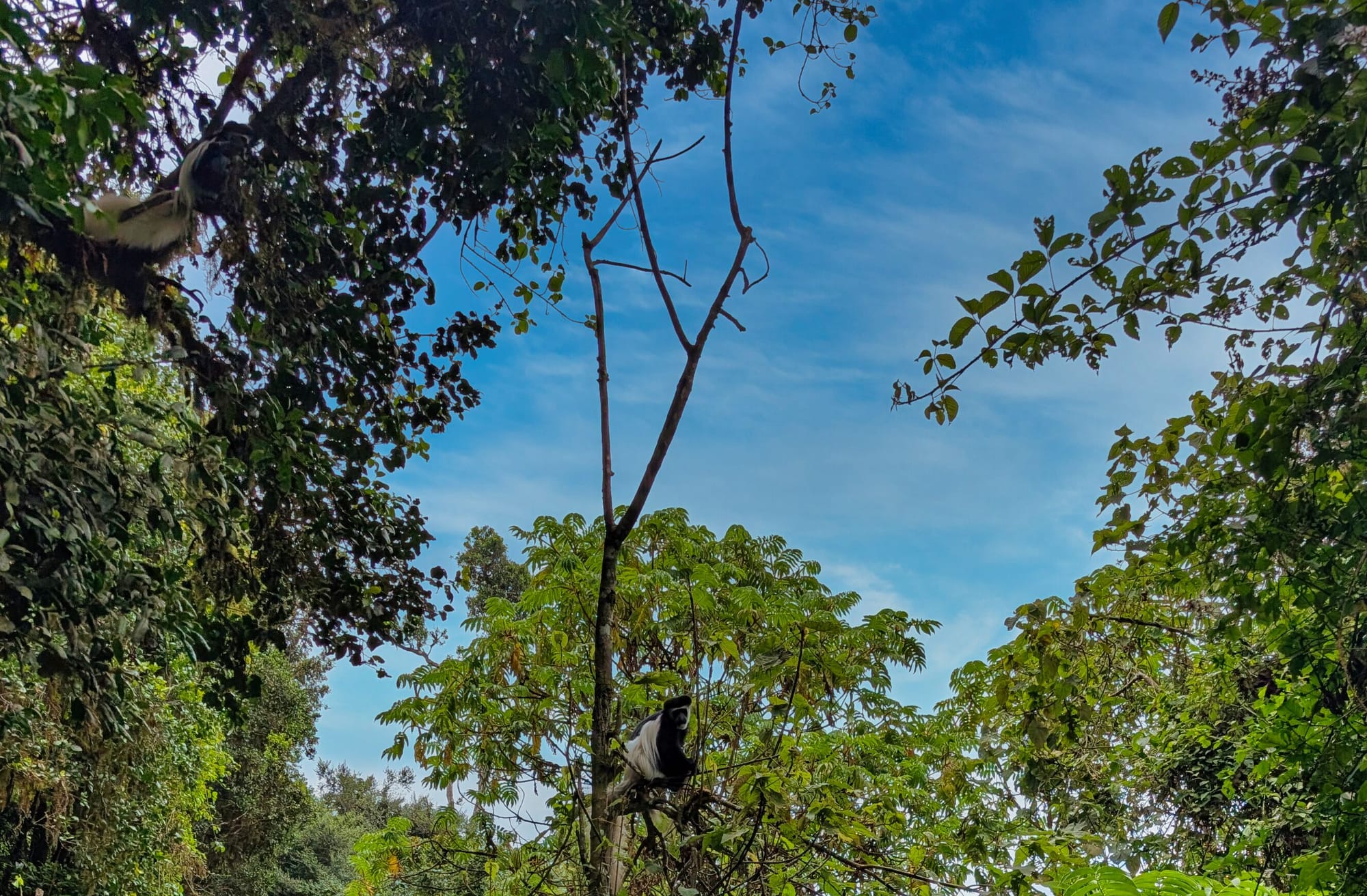
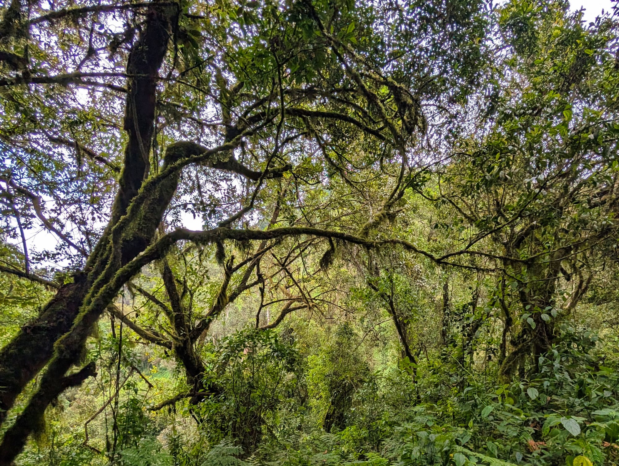
The surroundings are still the complete opposite of what I will experience at the summit just a few days later. The trail leads through humid, dense mountain rainforest, which almost completely shields us from the wind.
Everything is green, the ground is soft and damp in places, and the view usually reaches only as far as the next bend between the trees and undergrowth.
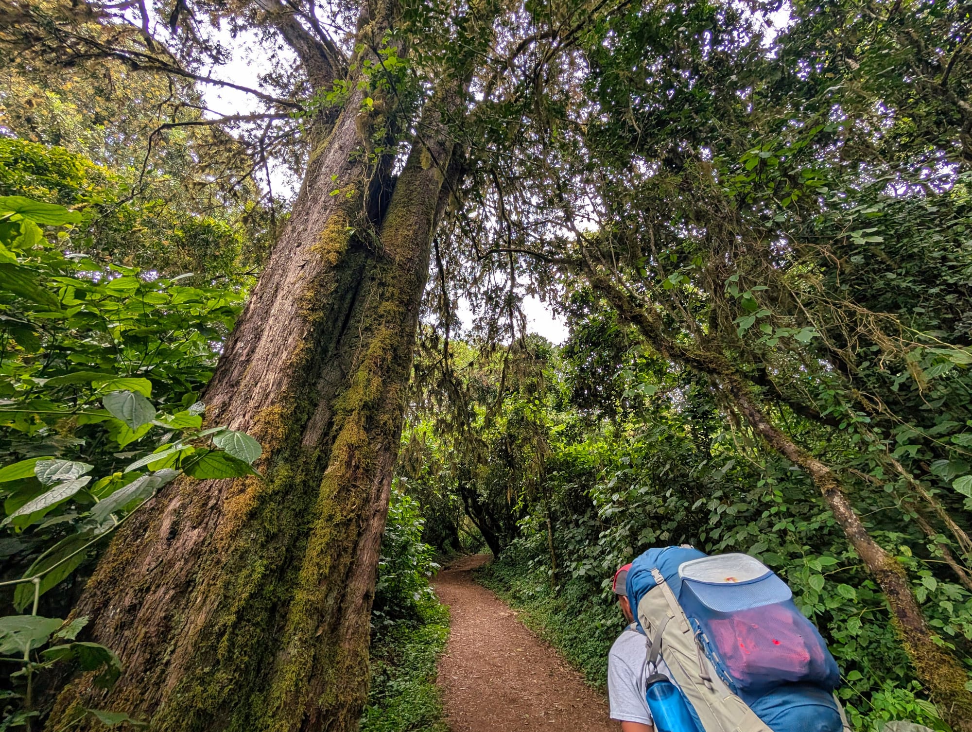
It is precisely this feeling of starting in an almost tropical forest that makes the Lemosho Route so special: within just a few days, I will pass through several clearly distinct vegetation zones, until there is almost no greenery left above 4,000 metres.
The track starts at around 2,400 metres and ends just below 2,800 metres.
That means that by evening I am already higher than many well-known Alpine summits, even though the day still feels like the start of the trek.
Destination: Mti Mkubwa Camp
Mti Mkubwa roughly means “big tree”, and the name suits its location in the middle of the forest. The camp is not a hut camp, but a tent site in sheltered rainforest. There is a ranger hut and basic, truly unpleasant latrines. It is already clear to us that the toilet tent is an incredibly worthwhile investment. We sleep exclusively in tents. At this altitude, water is still relatively readily available, and the crew collects it from a spring directly at the camp and treats it for us.
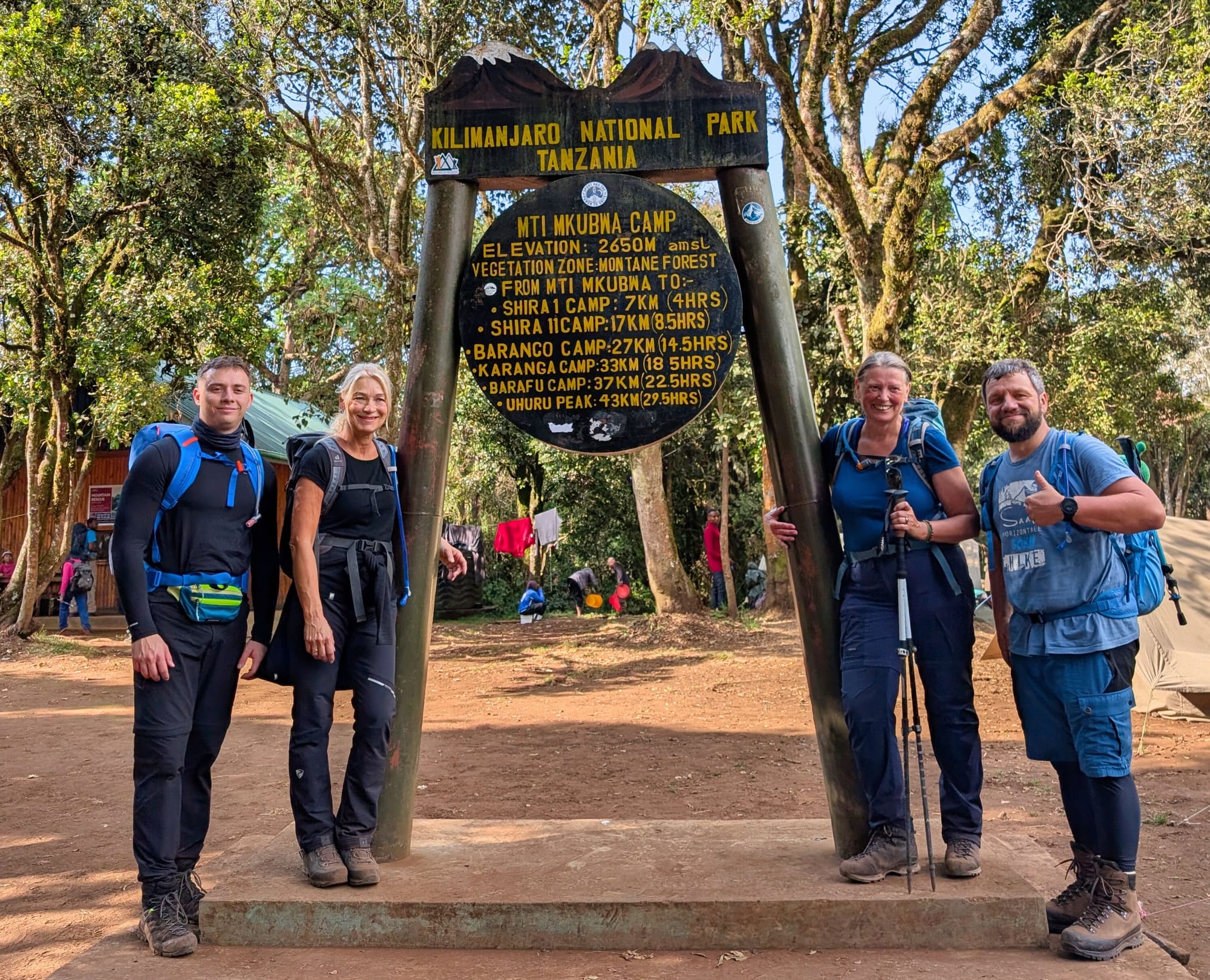
When we arrive, everything is already set up. This is where I realise for the first time just how different this kind of trekking is from my usual long hikes: I arrive, and my tent is already standing. The crew has been there for ages, even though we repeatedly see them pass us along the trail carrying considerably more gear.
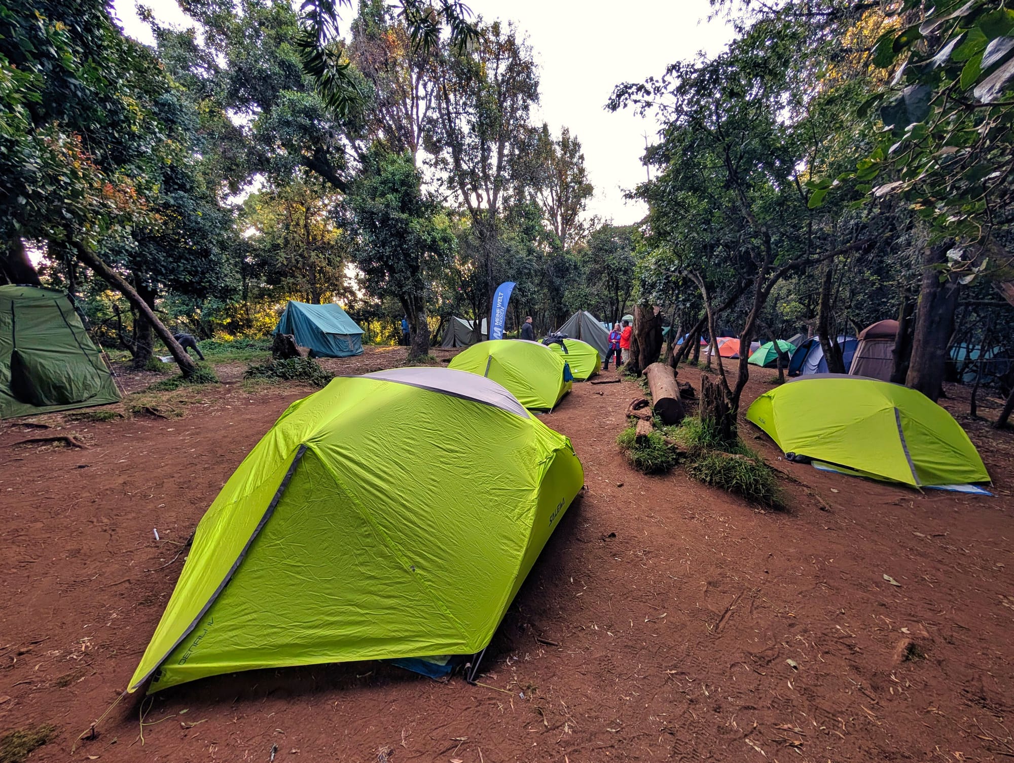
Dinner is good. We have soup and tea first, followed by fish with vegetables. I hardly eat any of the main course because I am already full after the soup. It is not an altitude issue yet, simply my appetite that evening.
My recap of the route
Overall, the first stage feels positive. The nearly two and a half hours are manageable, but the continuous uphill means that the day still feels like a proper hike. The fellow hikers are nice, as are the guides, and after the first day I feel that the group can work well. For now, curiosity and anticipation clearly outweigh concerns about the altitude.
At the same time, I see for the first time just how important “Pole Pole” will be. Even on this low-altitude stage, there is little point in walking unnecessarily fast. The mountain will not get any shorter over the next few days just because I save a few minutes today.
Health assessment
Physically, I feel good in the evening. My breathing works without any noticeable problems. My head feels a little strange, but I already knew that feeling from the days before the trek, so I do not put it down to the altitude, but simply to my usual headache. During the activity, my heart rate averages 120 and peaks at 145 beats per minute.
The Pulse Ox series is more interesting. Before the trip, my Garmin readings in the lowlands were usually between 94 and 97 percent. During the following rest or night phase at around 2,807 metres, Garmin shows 88 percent. A watch is not a clinical pulse oximeter, but as a consistent series of measurements over several days, the value is still interesting to me. After the first significant gain in altitude, you can already see that my body is reacting to the thinner air.
Gear
On the first day, I wear my hiking socks and hiking boots on my feet, along with running leggings and hiking shorts over them. On my upper body, a T-shirt is enough at first in the sheltered rainforest; I wear my sun hat on my head and inexpensive category 4 sunglasses. The combination works well for the temperatures while protecting a large part of my legs from sun and scratches.
At camp, however, comes the first unpleasant surprise. The main zip on the rented sleeping bag is broken. In addition, the smaller zip, which is specifically intended for getting out of the sleeping bag quickly at night, has been sewn completely shut. The porters or camp team repair the main zip with the means available, and I hope it holds.
Then it becomes apparent that the rented sleeping mat also has a hole. That too is patched for the time being. Especially because the coming nights can be well below freezing, the sleeping bag and mat are not matters of comfort for me. The crew responds brilliantly and immediately tries to solve the problems.
For tomorrow, I will also take sun protection more seriously. Even at this altitude, the sun burns more strongly than you realise in the relatively pleasant temperatures. That will become important sooner than I would like.
Join the conversation
Become a member of One More Step to leave a comment.