
Kilimanjaro – Day 3: Across the Shira Plateau and Above 4,000 Metres
Ice on the tents, far views and a long beautiful walk across the Shira Plateau. Day three feels gentler on paper, but my body makes it increasingly clear that nearly 4,000 metres is a different world.
Overview
- Date: 21 July 2026
- Route: Shira 1 → Shira 2 + acclimatisation hike
- Distance: 10.45 km
- Elevation gain/loss: ↑ 568 m · ↓ 170 m
- Recorded duration: 5:38 h
- Garmin calories burned: 1,425 kcal
- Elevation:
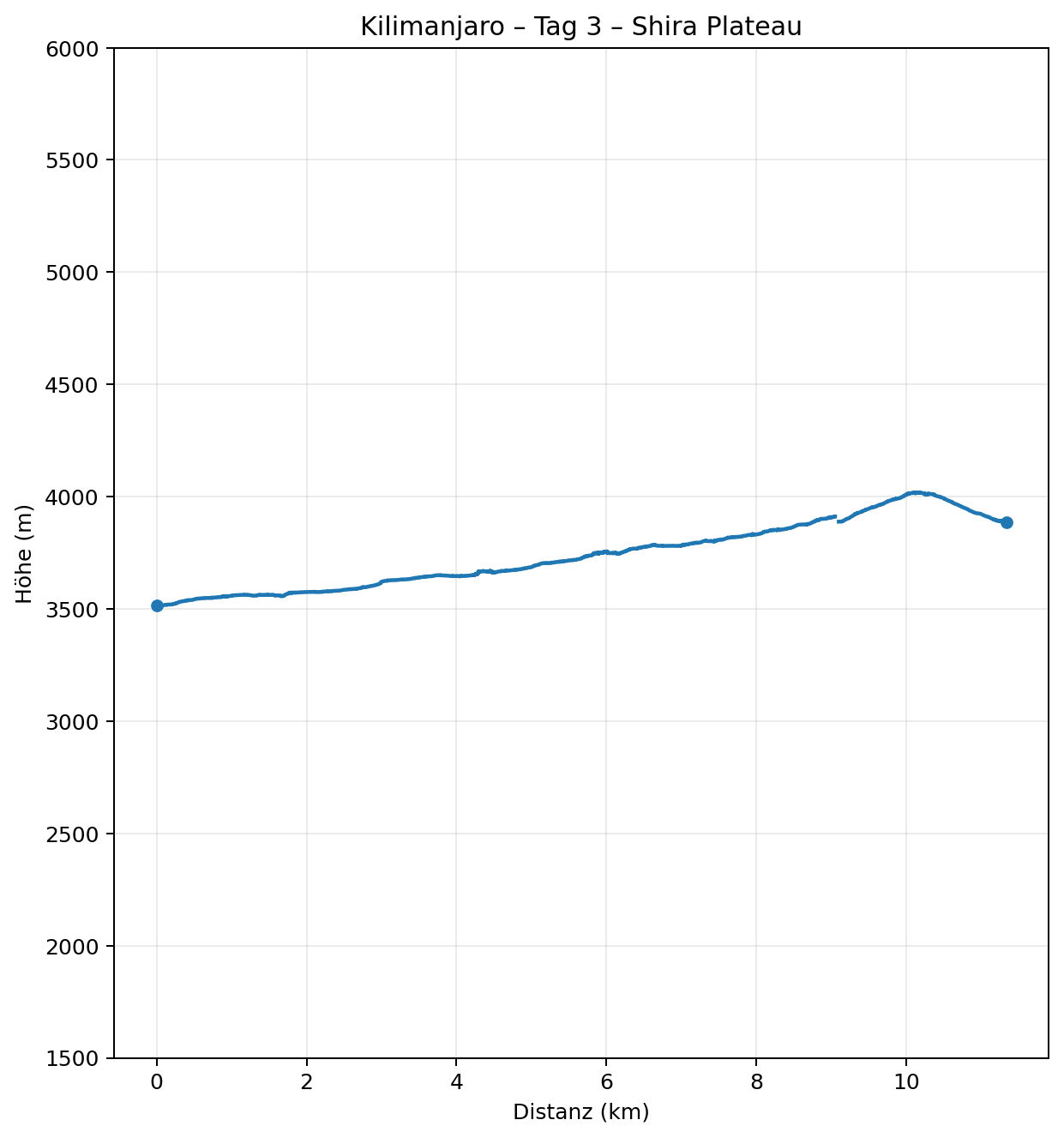
- Start: 3,515 m
- Highest point: 4,019 m
- Finish, Shira 2 Camp: approx. 3,890 m
- Uphill gradient: avg. 6.5% / max. 28.4% over a 50 m window
- Downhill gradient: avg. 6.7% / max. 19.4% over a 50 m window
- Heart rate: avg. 111 / max. 145 bpm
- Temperature at backpack sensor: 4–23 °C*
- Pulse Ox / SpO₂: 82% at 3,912 m
Route and landscape
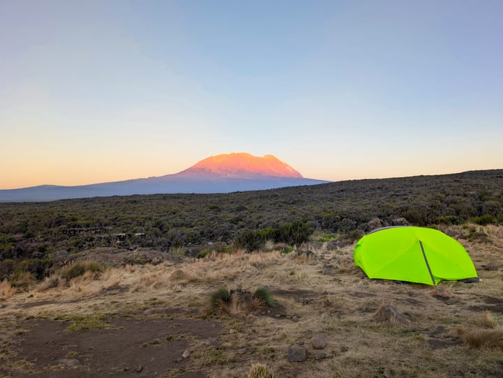
The day begins with a view of ice. During the night, the temperature close to the ground drops to around minus seven degrees, and in the morning we can actually scrape a thin layer of ice off the tents.
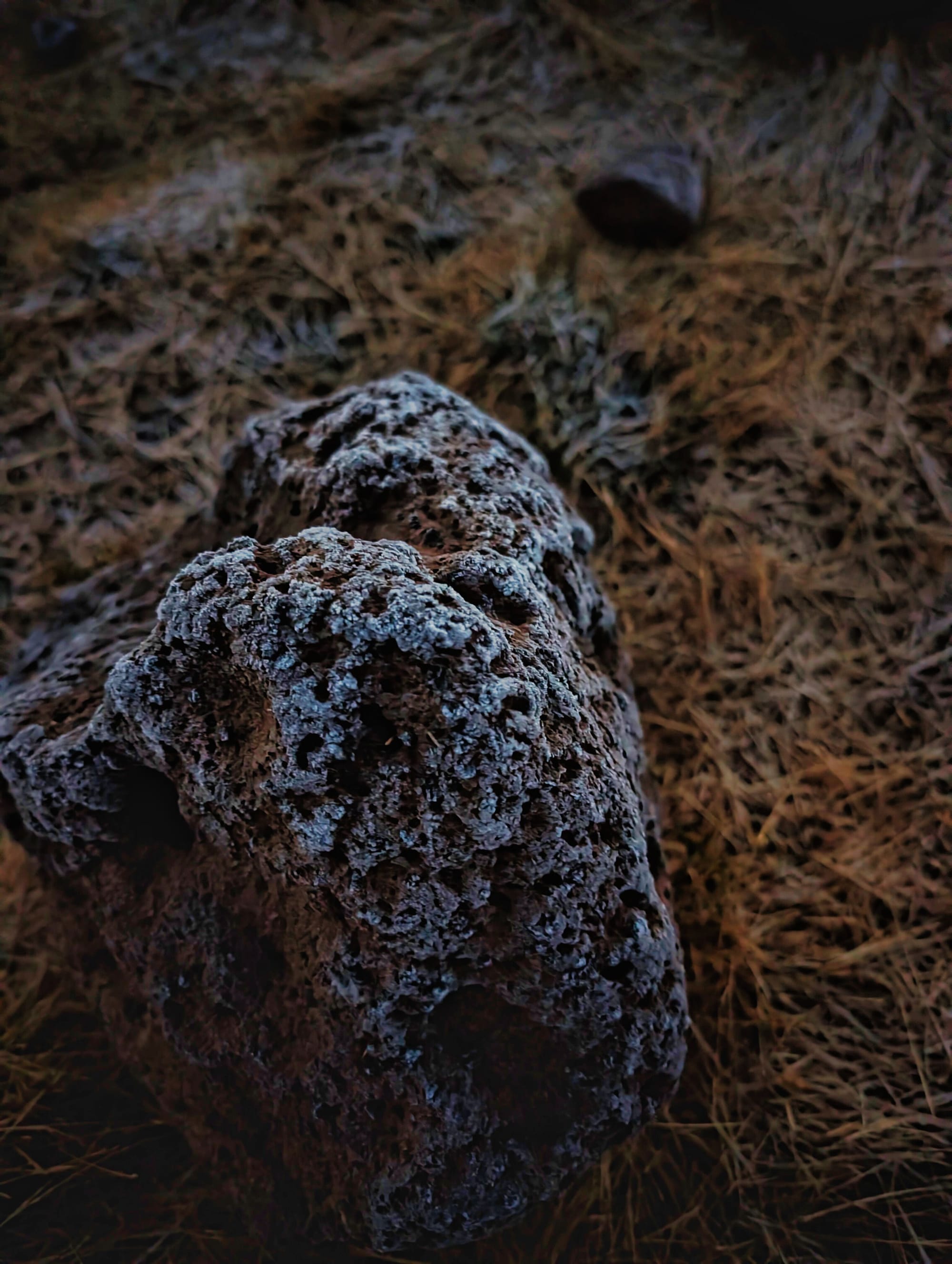
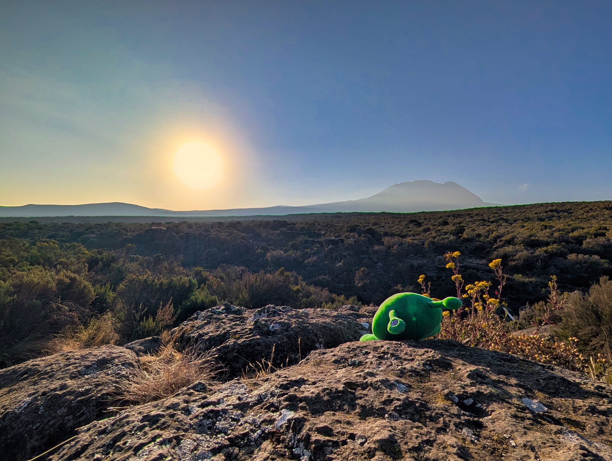
Still frosty in the morning, it gets pretty warm once the sun is up.
At the same time, today’s main stage ahead of us is far less punishing than yesterday’s.
We travel from Shira 1 Camp across the vast plateau to Shira 2 Camp, then add a separate acclimatisation hike in the afternoon.
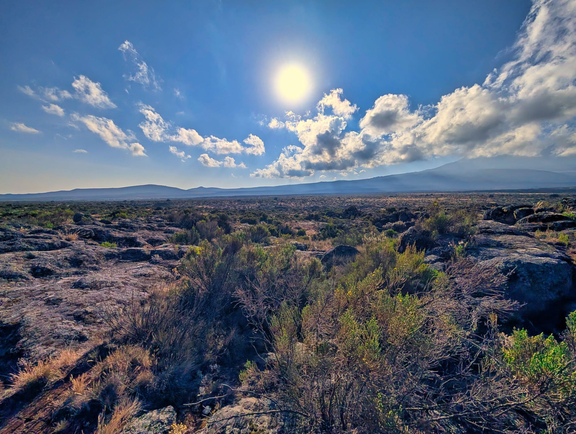
Together, the two activities add up to 10.45 kilometres, 568 metres of ascent and 170 metres of descent. The main route across the plateau is far more even than the previous day’s stage. The average positive gradient over 50 metres is around 6.5 percent. So we make good, relaxed progress.
Along the way, the kitchen porter is waiting for us again, carrying a table full of snacks, hot and cold drinks and plenty of good cheer—what incredible service. A picnic in the middle of nowhere.
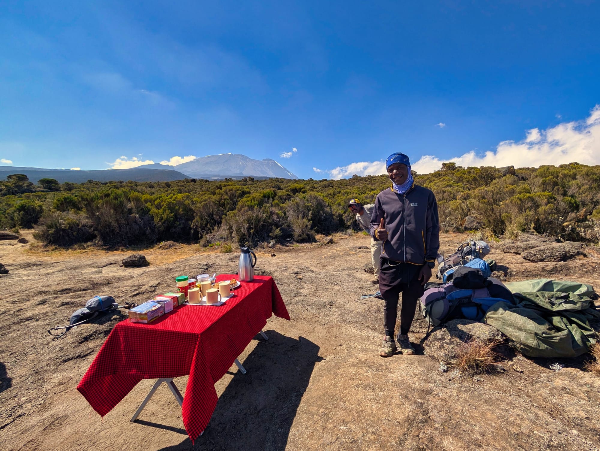
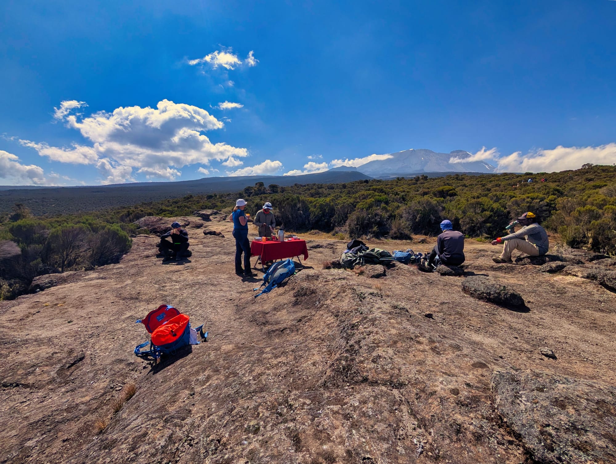
Picnic with a view
It is only on the additional acclimatisation hike that things become noticeably steeper again. Our highest recorded point is 4,019 metres before we return to camp at just under 3,900 metres.
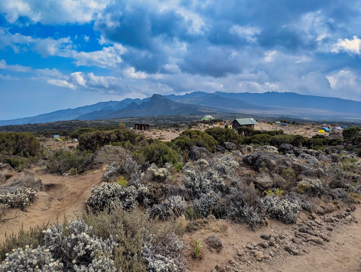
The moorland of the Shira Plateau dominates the landscape. Everything is low-growing, vast and open. The plateau is part of the old Shira volcanic complex and feels like an enormous upland plain between volcanic formations. For me, this day is defined less by spectacular individual spots than by the sense of vastness—and by the feeling that we are now slowly making our way around Kibo towards the side from which we will later ascend.
Destination: Shira 2 Camp
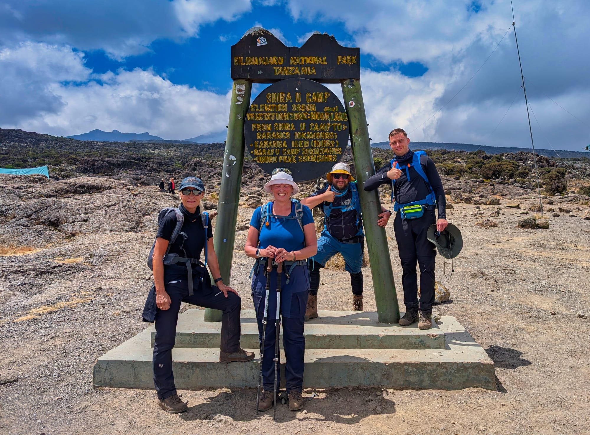
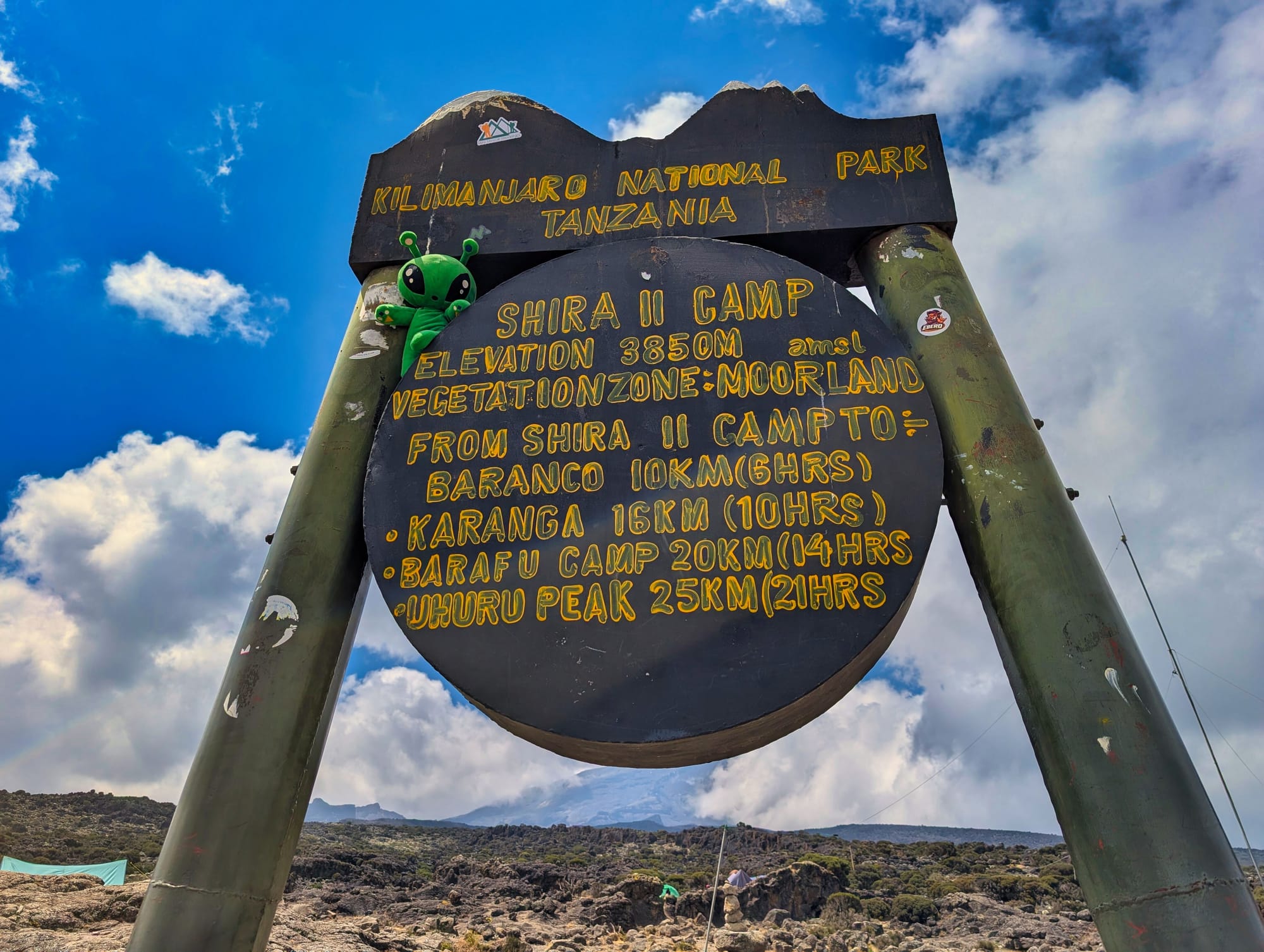
Arrived at Shira 2 Camp
Shira 2 sits at roughly 3,890 metres and is also a tent-only camp. There is a ranger hut and, depending on their current condition, simple latrines or more modern solar-powered toilet facilities. Water logistics are less straightforward here than in the lower camps; the crew collects water from available springs or streams in the surrounding area and treats it. The camp sits exposed in the moorland and is therefore vulnerable to wind.
Camp life itself is almost routine by now. There is lunch, I am able to eat a little more again, and after the acclimatisation hike there is time to rest in the afternoon. The wind picks up noticeably later on, and by evening I am glad to curl up in my tent again.
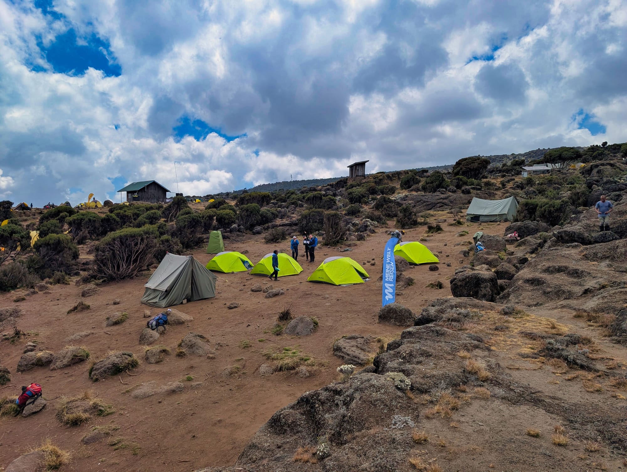
Up to 4,000 metres—and back down again
After arriving at camp, the day is not over yet.
For acclimatisation, we head uphill once more, to around 4,000 metres. The principle behind it is simple: climb high, sleep low. In other words, climb higher, allow the body to adjust to the thinner air, then sleep a little lower again.
In theory, it sounds pretty uneventful. In practice, it is becoming very clear that this is no ordinary hike.
The steps get slower, small climbs suddenly become surprisingly strenuous. You walk, stop, breathe, then keep walking. Nothing dramatic—but the body begins to communicate very clearly that different rules apply up here.
At the same time, every single metre is worth it. As we gain height, the view opens up farther and farther across the landscape. The Shira Plateau lies beneath us, clouds drift through the valleys far below, and the mountain suddenly seems even bigger and more powerful.
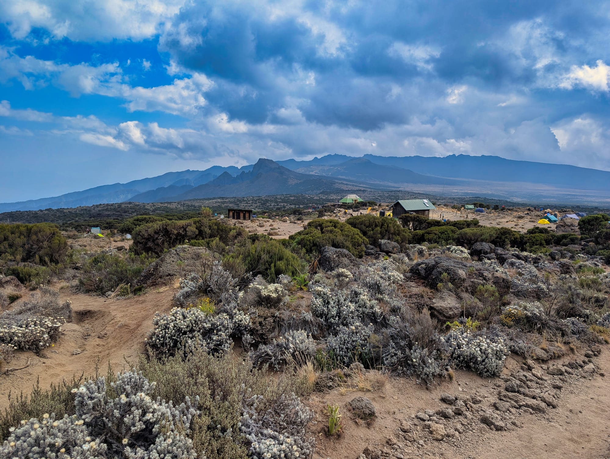
It is one of those moments when exertion and beauty sit very close together.
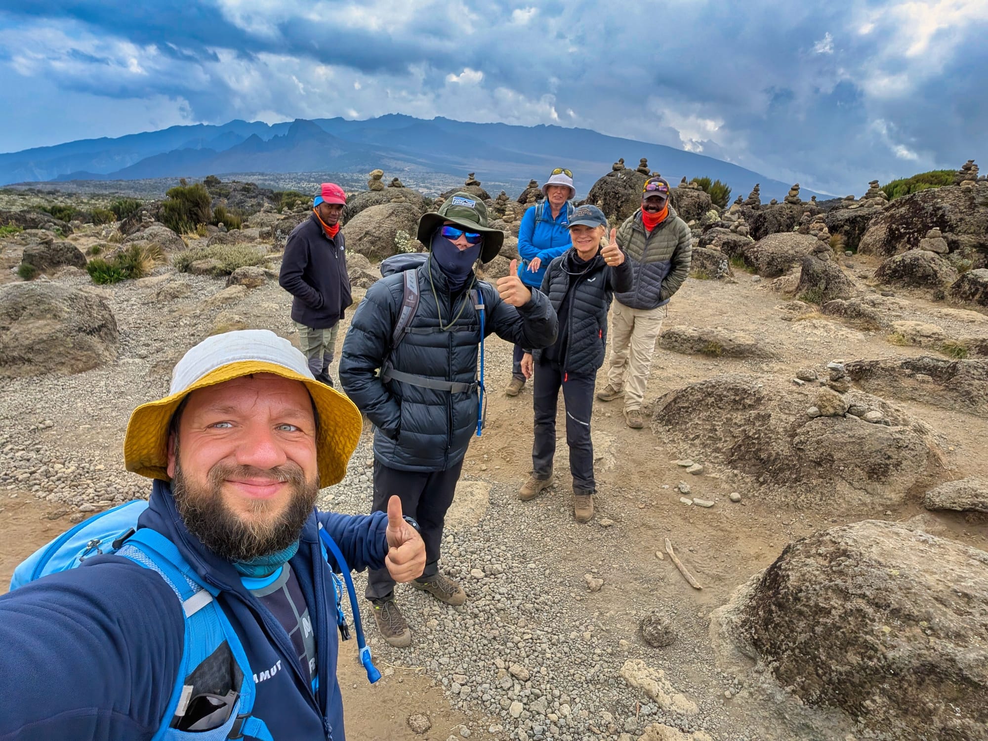
Up here, there are small cairns everywhere. Some consist of just a few stones, others are much larger. At some point, I take the opportunity to place a stone on one of the piles myself. And naturally, it comes with a wish. What that wish was remains a secret, of course.
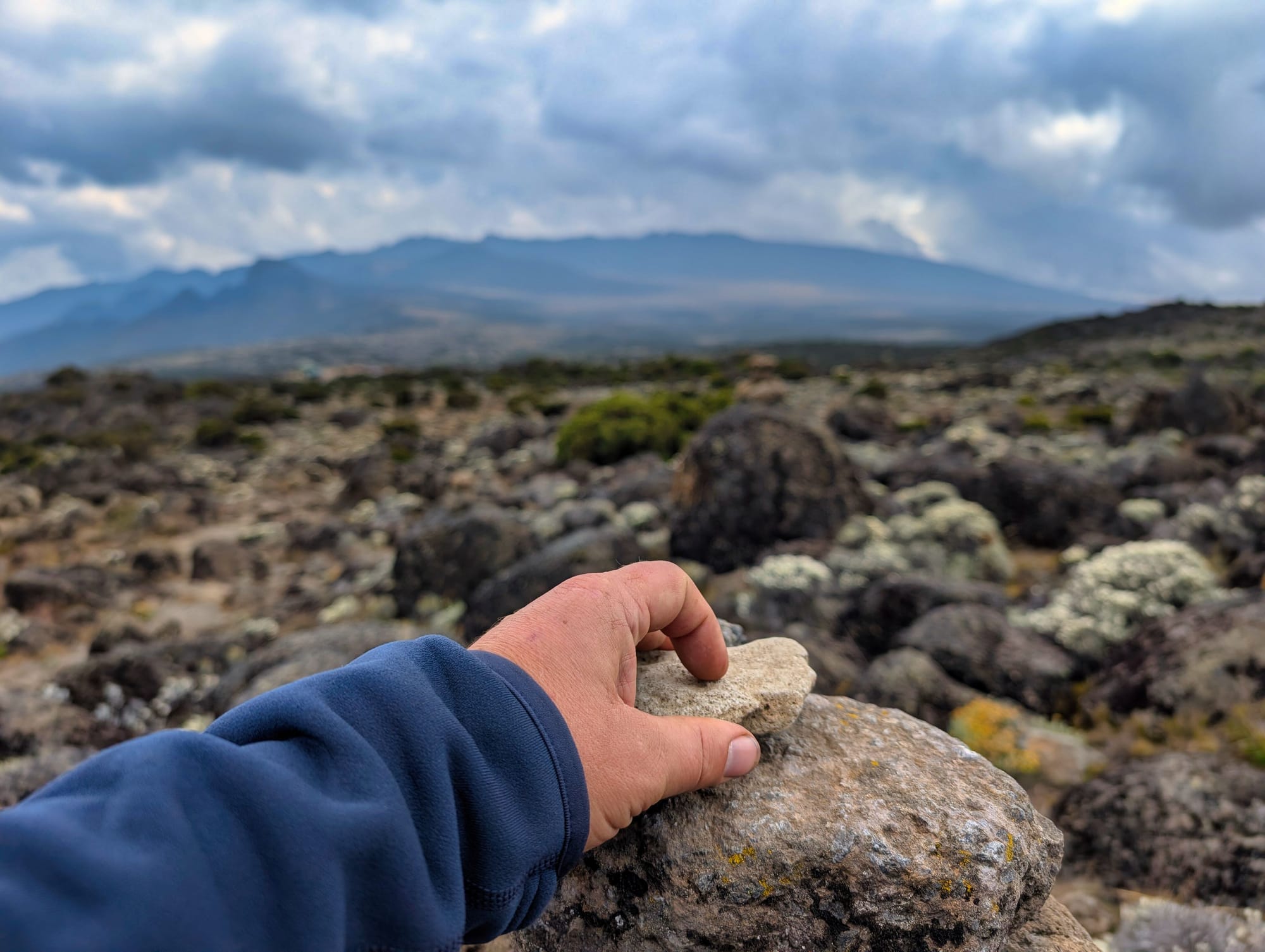
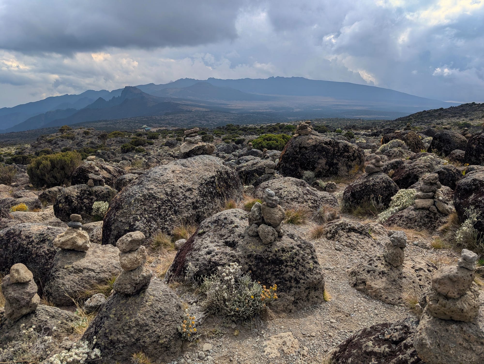
Wish stones high above the clouds—there is hardly anywhere closer to the sky to make a wish
Afterwards, we head back down to camp. And although the outing was not objectively all that long, it feels far more strenuous than the bare kilometres would suggest. That is exactly what it is for. The body is meant to learn how to cope with the altitude.
And I am slowly beginning to understand that on this mountain, speed does not decide things—patience does.
Finally, it is time to freshen up, and even that is a small challenge up here—though at least it comes with a magnificent view.
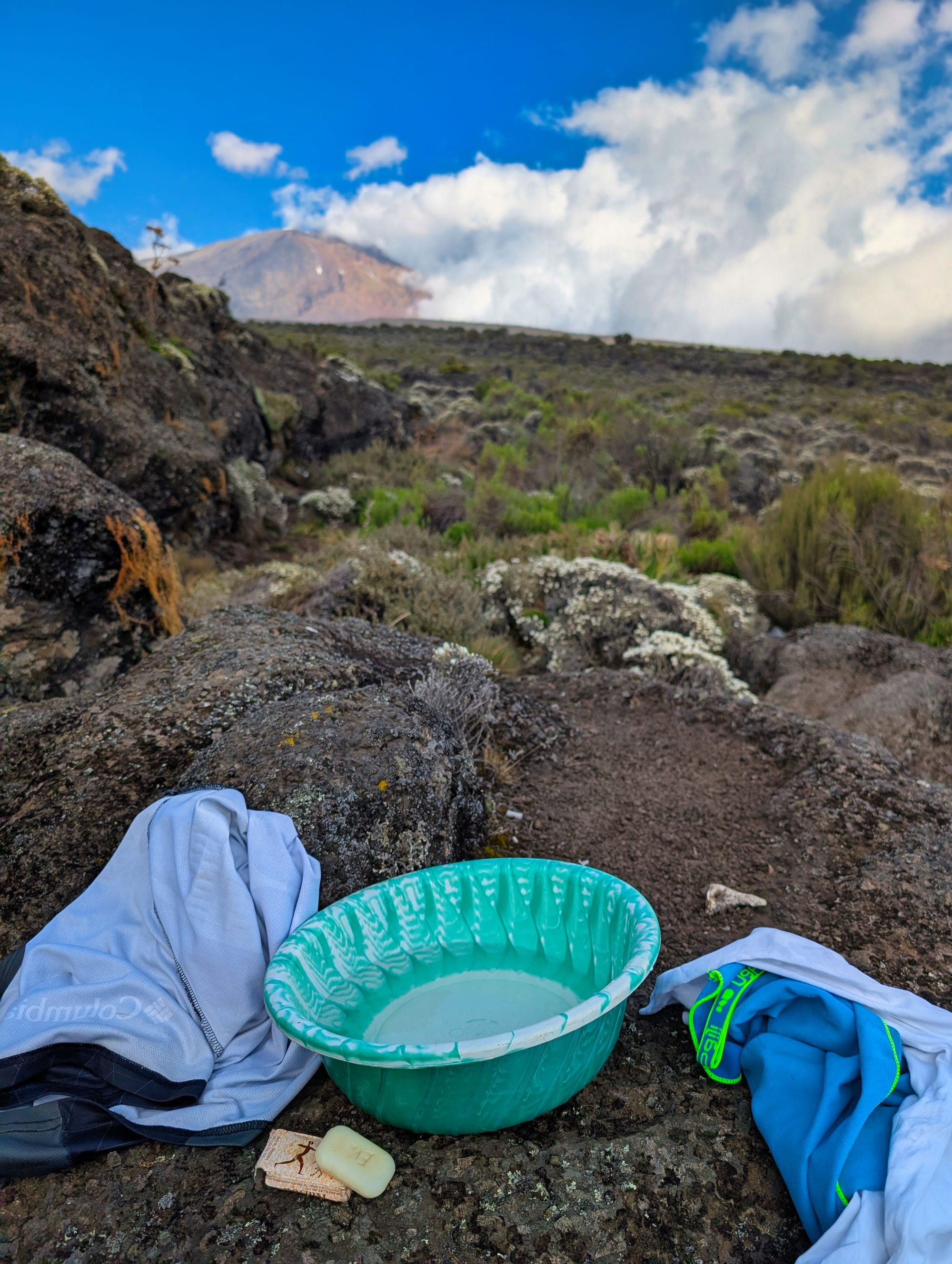
The internet rock
Internet on Kilimanjaro is a science all of its own.
There are a few spots on the mountain where mobile signal somehow reaches up from the valley. Often, they really do span only a few metres. Sometimes reception works only at one very specific angle—and first of all, you need to know where to look at all.
The porters are a pretty good sign.
By now, they know exactly where reception is possible. So if you look around camp and see a small group of porters standing close together, all holding smartphones and staring intently at their screens, chances are good that you have just found one of Kilimanjaro’s rare internet hotspots.
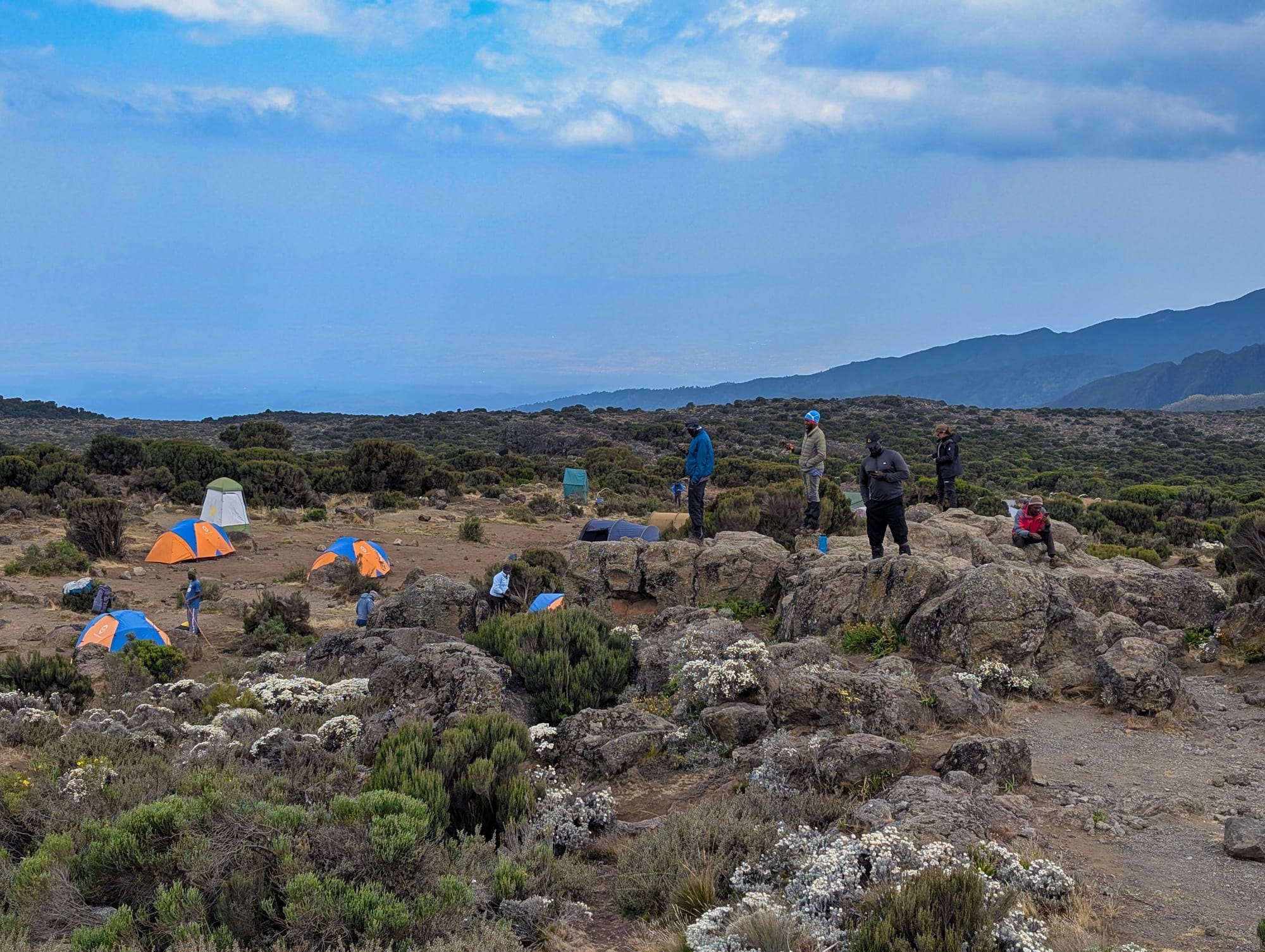
So Michi and I went looking for a signal at Shira 2 Camp as well. And it was surprisingly difficult. At some point, Michi did find a spot where his phone got reception—but it felt as though it only worked if he stood in exactly that place and turned towards the valley at a very specific angle. Me: nothing.
I walked around, held my phone up, turned left and right, took two steps forward and back again. Apparently, I looked so desperate by then that one of the porters eventually asked me which mobile network I was using.
Thanks to my Nomad eSIM, I was on Vodacom, while Michi was on Airtel. The porter simply nodded, pointed to a large rock perhaps ten metres away and said, roughly: “Vodacom is over there!”
So I climbed onto that rock. And sure enough: reception. The Vodacom rock!
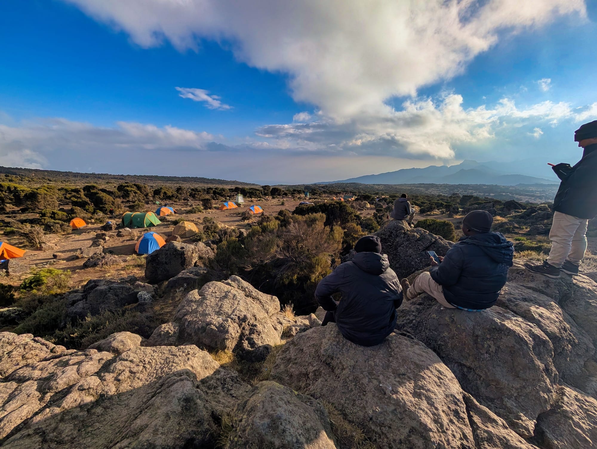
It is precisely these little moments that keep showing how incredibly helpful and attentive the people here are. They also remind me how much this journey depends on working together. Doing Kilimanjaro entirely alone might be possible—but it would probably be only a fraction as beautiful.
Later, we take things a step further: in the dining tent, we build a contraption out of metal cups and cutlery that we generously call our “LTE repeater” and begin sharing the little bit of available internet between us via tethering. High-tech at 3,900 metres.
Somehow, it is absurd. Before the trip, the thought of being completely offline for seven or eight days sounds rather romantic. And in principle, it is. But up there, you realise just how accustomed you have become to being able to send a quick ping home at least once a day.
A brief: All good. I’ve arrived. That is really all it takes.
But when even that suddenly is not possible, the much-praised digital break feels surprisingly less liberating than you imagined beforehand.
My route recap
Overall, day three is beautiful and less demanding than day two. The plateau allows for a steadier rhythm, and the additional hike above 4,000 metres feels worthwhile because we sleep lower again afterwards. At the same time, it is the first day when the altitude appears not just in the numbers, but directly in everyday life.
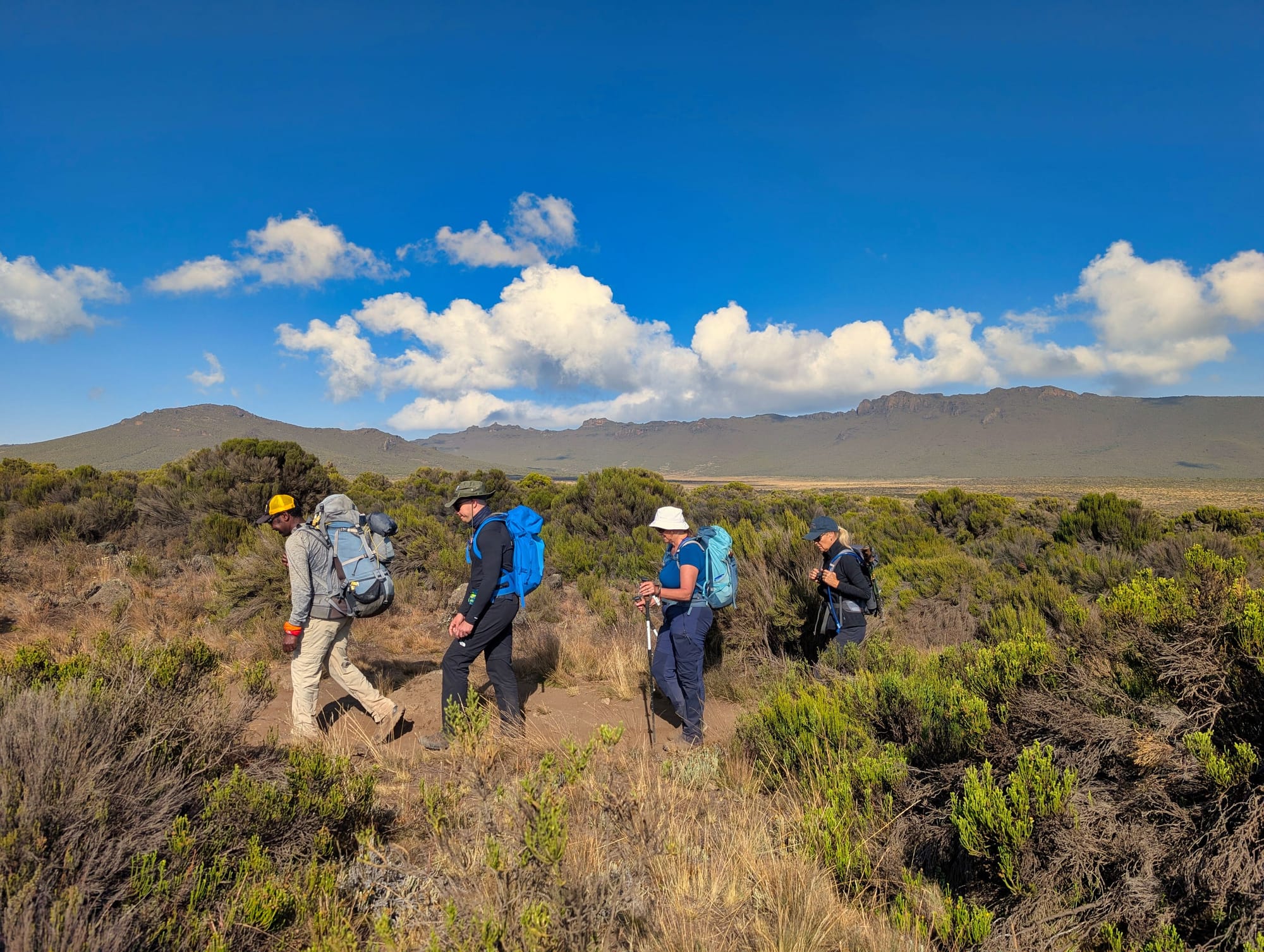
Short, quick movements are suddenly enough to leave you noticeably out of breath. It is a strange experience, because at the same time I can eat normally, have no headache and my stomach is fine. I do not feel “ill”, but my body visibly has less reserve. Michi is dealing with similar effects, and it helps that we talk about them and support each other a little. The group works well as a whole today, and we spend a lot of time talking about all kinds of different things.
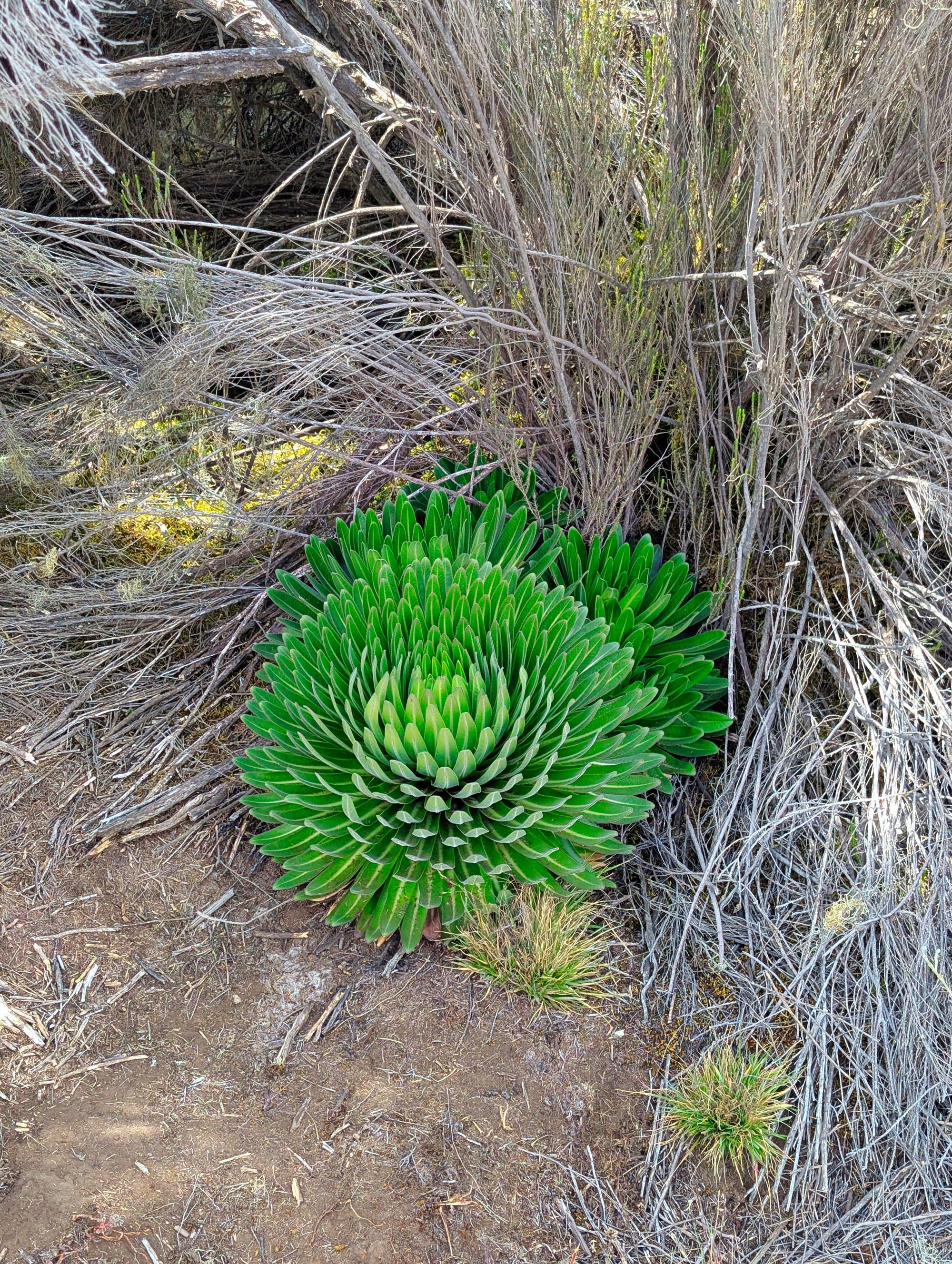
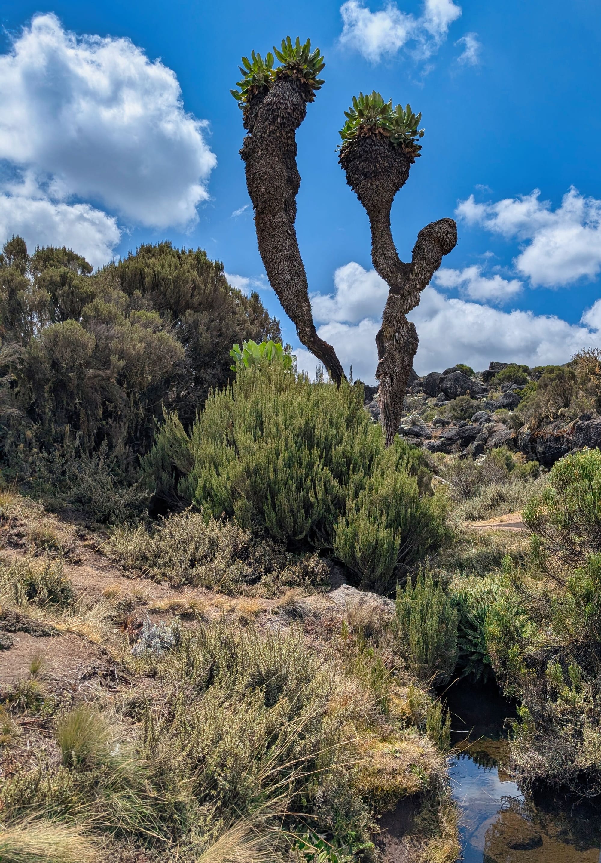
The flora here has to find its own ways of coping with the temperature differences and the bizarre conditions of water and light
Health review
Garmin’s daily reading is 82 percent SpO₂ at 3,912 metres. The trend is clear by now: before the trip, I am usually in the 94 to 97 percent range; at the first camp it is 88, at Shira 1 it is 85, and here it is 82 percent. These readings are not medical diagnostics, but as a consistently recorded trend line, they illustrate very clearly how much the greater altitude affects me.
More important than the number is how I feel. I have no headache, no noticeable stomach issues, I have an appetite and can walk the route. At the same time, the shortness of breath is clear. I have the impression that I may have drunk a little too little. I take that seriously for the next day, because tomorrow brings the first excursion well above 4,500 metres, to Lava Tower.
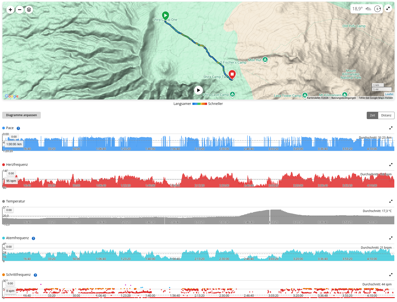
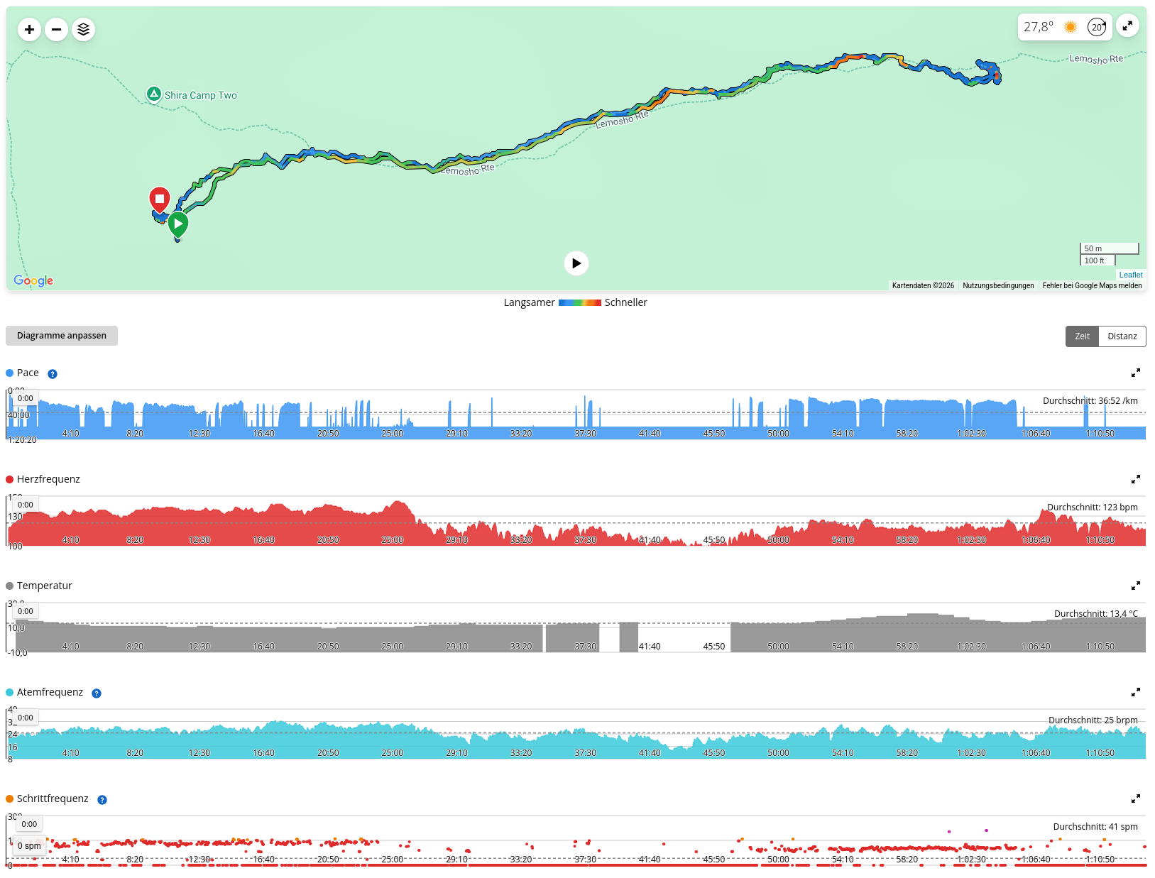
Across the main stage and the acclimatisation hike, my weighted average heart rate is around 111, with a maximum of 145 bpm. Despite its short length, the additional hike is noticeably more intense than the walk across the plateau.
Gear
The night shows that my layering system basically works. With merino base layers, an additional long-sleeved shirt, long underwear, socks, a warm sleeping bag and a sleeping mat that is now working properly, I can cope surprisingly well with the roughly minus seven degrees. The problem only starts when I have to get out of the sleeping bag at night. Drinking plenty is helpful for acclimatisation, but frequent toilet trips at these temperatures are anything but appealing.
During the day, I wear merino long underwear on my legs, with running tights and hiking shorts over the top. On my upper body, I combine a T-shirt and fleece. The woolly hat is pleasant in the morning; later, I switch to my sun hat.
Today, I give the more expensive Julbo mountain sunglasses a more thorough try. They are technically stylish, but apparently not ideal for my face: they are sometimes too dark for me, do not fit perfectly and start to press or chafe. In the end, I return to my cheap (20€) category 4 sunglasses, which are simply more comfortable.
The first real packing-list lessons are also becoming clear. I have brought too few T-shirts. Even though some of the daily distances are not particularly long, I sweat enough that I could really use a fresh shirt every day. Even more banal is the realisation that I am missing camp shoes. Crocs or simple sandals would be worth their weight in gold at night, because I do not want to put on trail-running or hiking shoes every time.
For the coming days, a Buff and thin liner gloves are becoming increasingly important. The Buff protects my neck where the sun hat leaves gaps when I am walking uphill, and the gloves protect not only against the cold but also the backs of my hands from the sun when I use trekking poles. What I actually forgot is UV lip balm. I am making do with normal sunscreen—not elegant, but it works.
Join the conversation
Become a member of One More Step to leave a comment.