
Kilimanjaro – Day 2: A Steep Climb to Shira 1 Camp
The rainforest falls behind me as the landscape opens up and the Lemosho Route reveals its steep side. Nearly 1,000 metres of ascent, intense sun and a crew of around 20 people shape my second day.
Overview
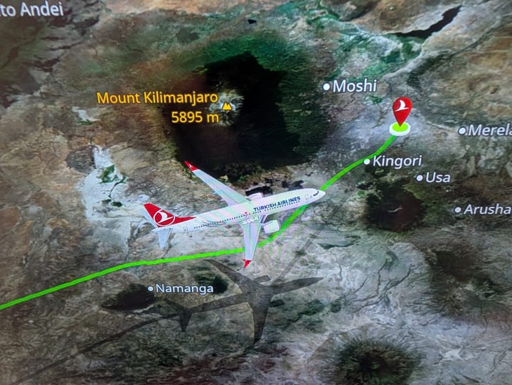
Flyover of stage 2 on the Lemosho Route
- Date: 20 July 2026
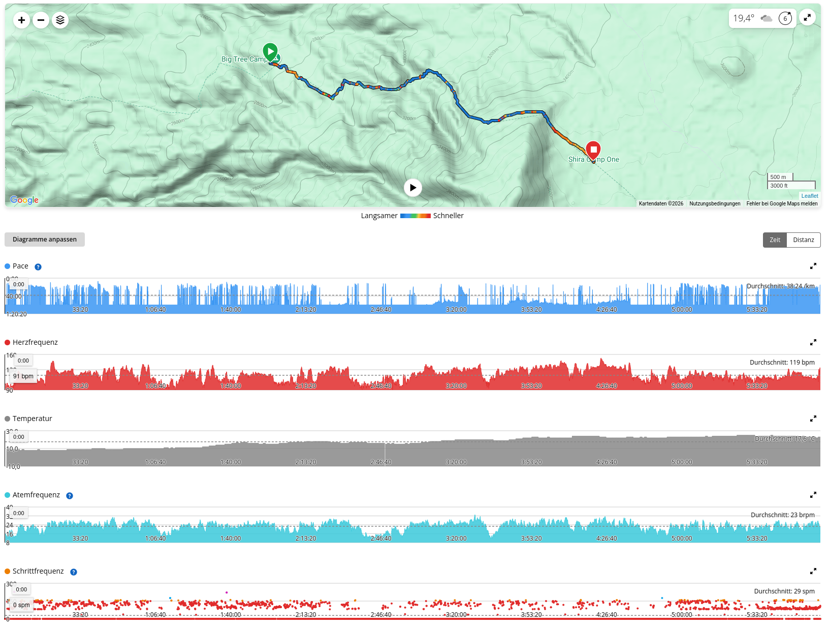
- Route: Mti Mkubwa → Shira 1 Camp
- Distance: 9.40 km
- Elevation gain/loss: ↑ 936 m · ↓ 214 m
- Recorded duration: 6:01 h
- Garmin calories burned: 1,709 kcal
- Elevation:
- Start: 2,794 m
- Highest point: 3,546 m
- Finish, Shira 1 Camp: approx. 3,510 m
- Uphill gradient: avg. 12.1% / max. 37.6% over 50 m sections
- Downhill gradient: avg. 7.0% / max. 28.6% over 50 m sections
- Heart rate: avg. 119 / max. 153 bpm
- Temperature at backpack sensor: 8–23 °C
- Pulse Ox / SpO₂: 85% at 3,487 m
Route and landscape
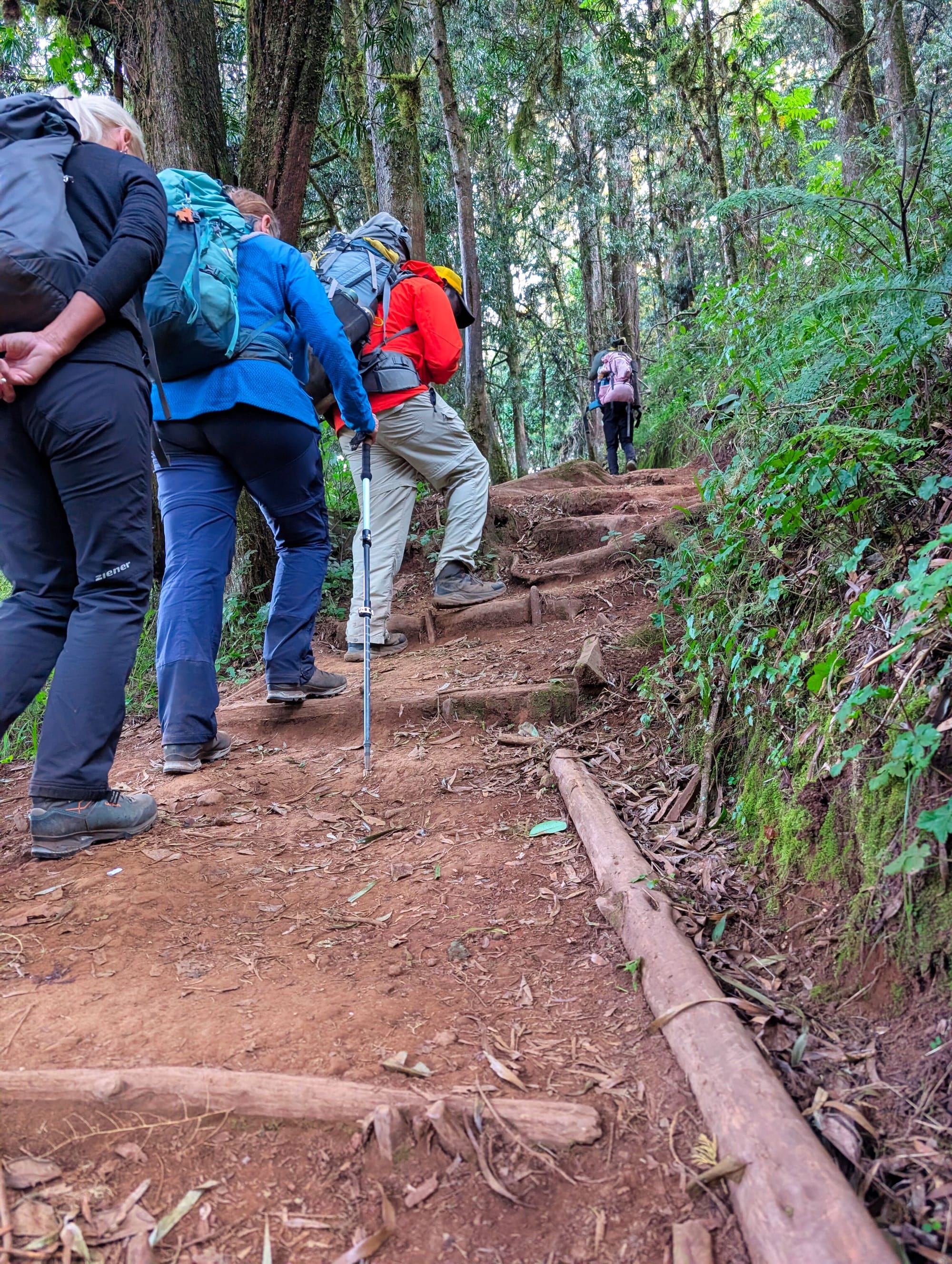
Today, the trek changes fundamentally. We still start out in the forest, which is beautiful and enchanted.
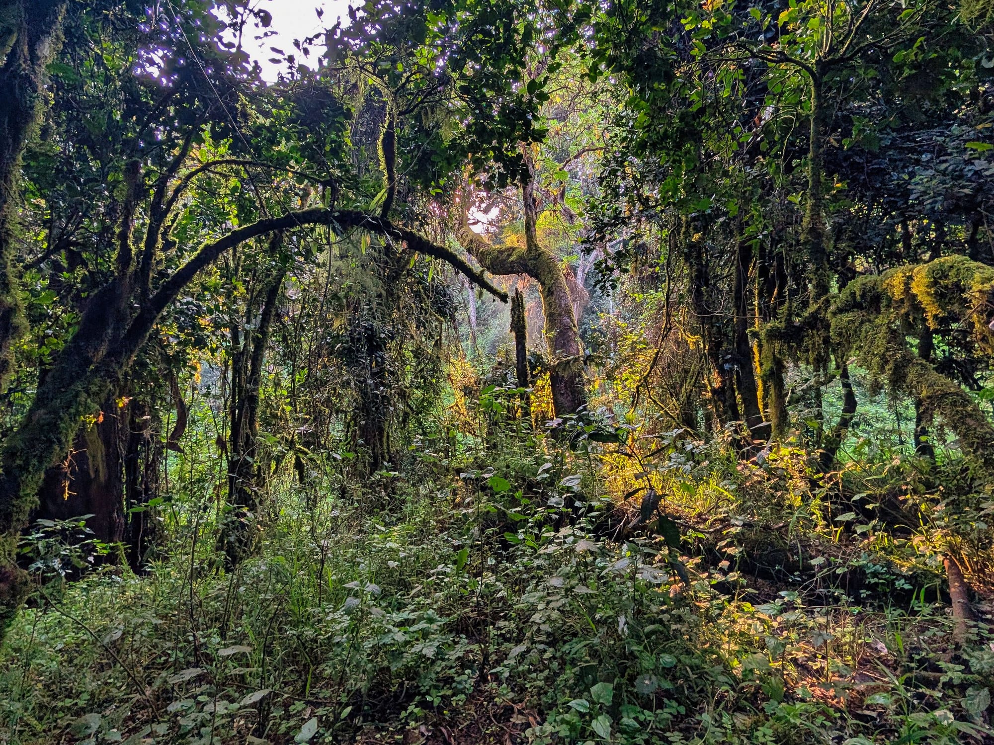
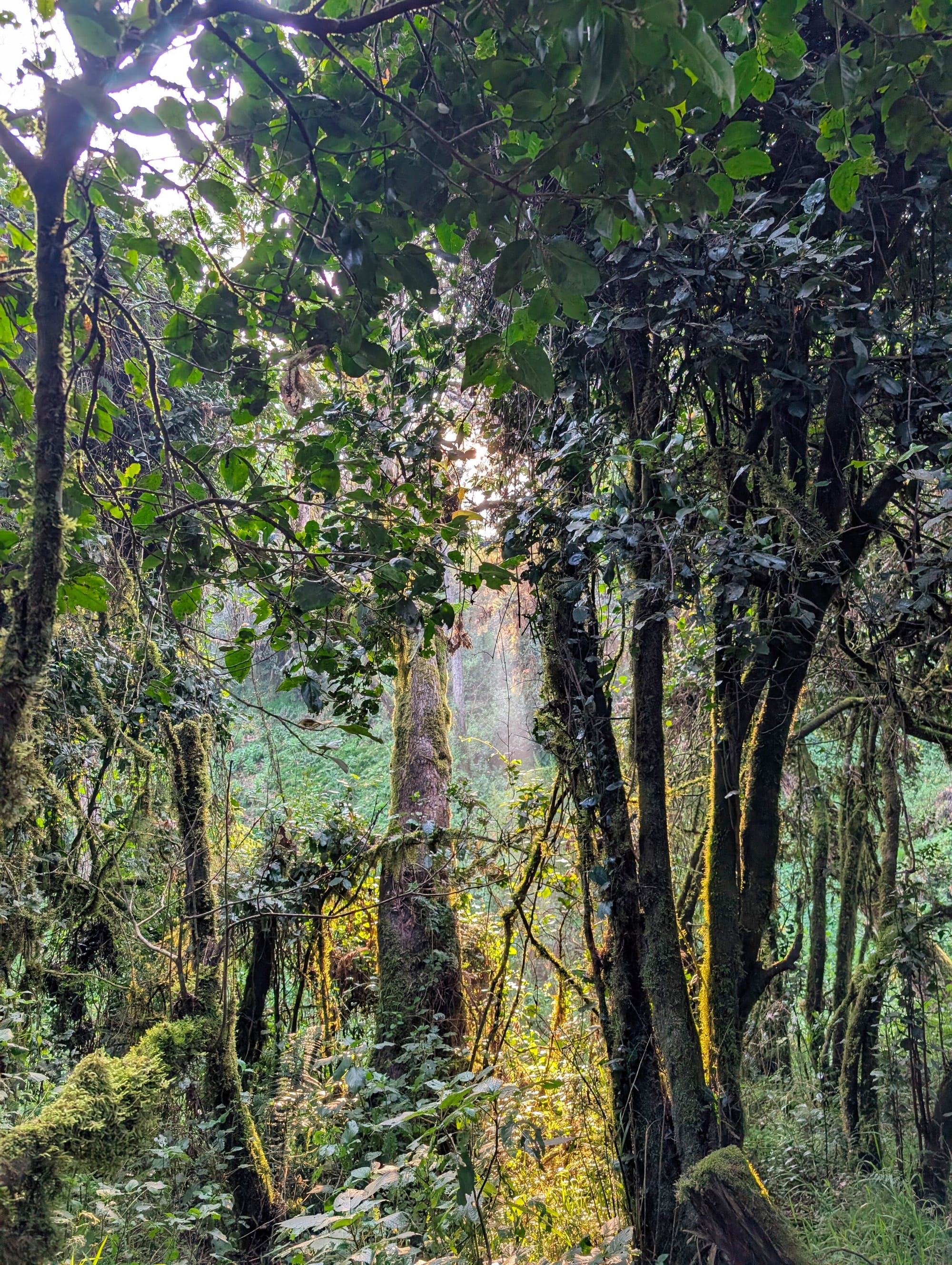
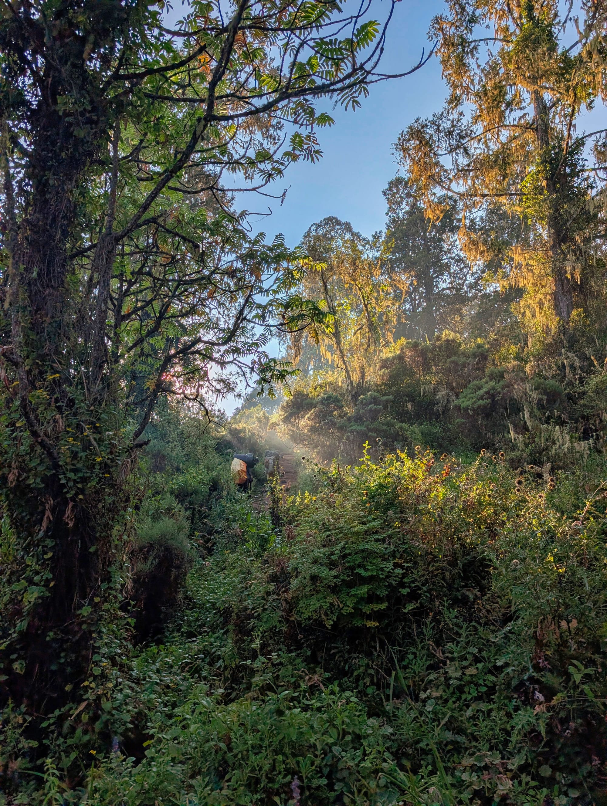
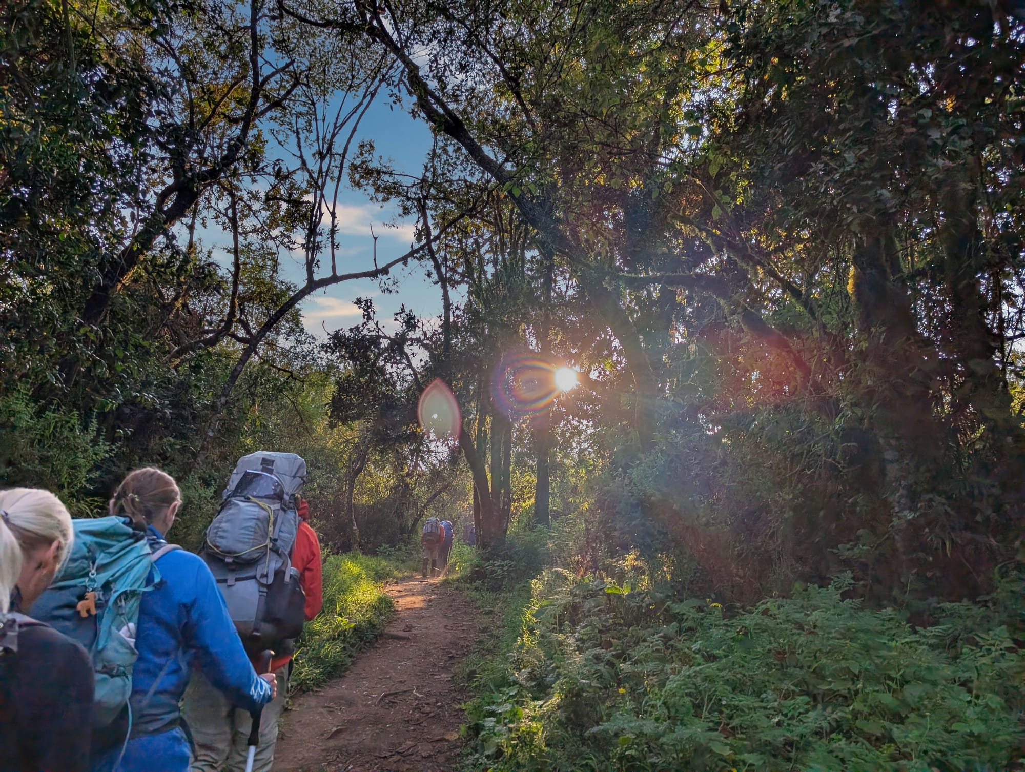
A rainforest straight out of a picture book
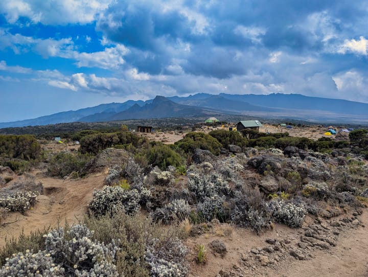
But before long, we leave the sheltered rainforest zone and enter the open heath and moorland on Kilimanjaro’s western side. The view broadens, the trees gradually disappear, and grasses, heath, low shrubs and volcanic rocks take over. For the first time, the mountain has that vast, open highland feel I know from photos.
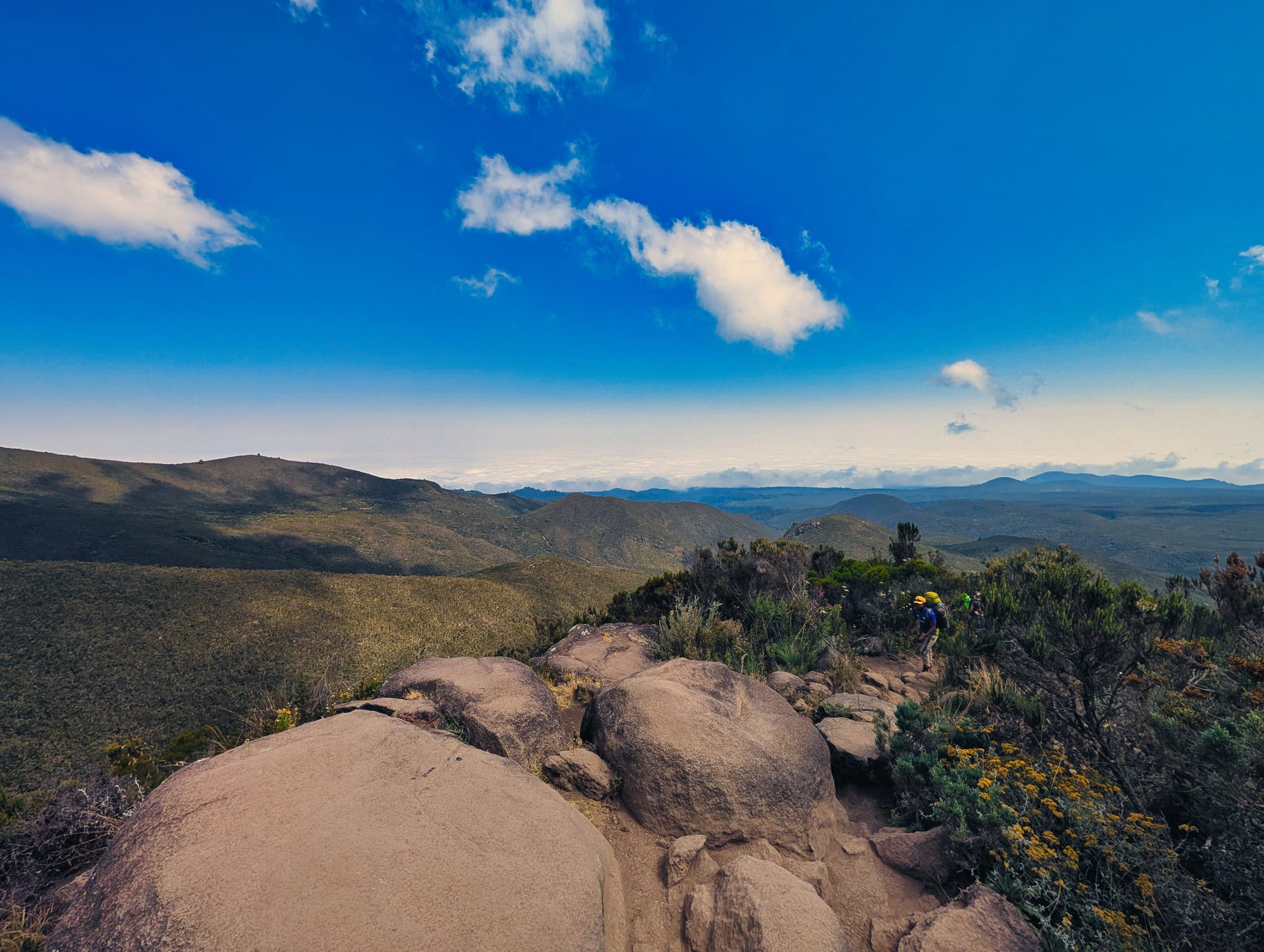
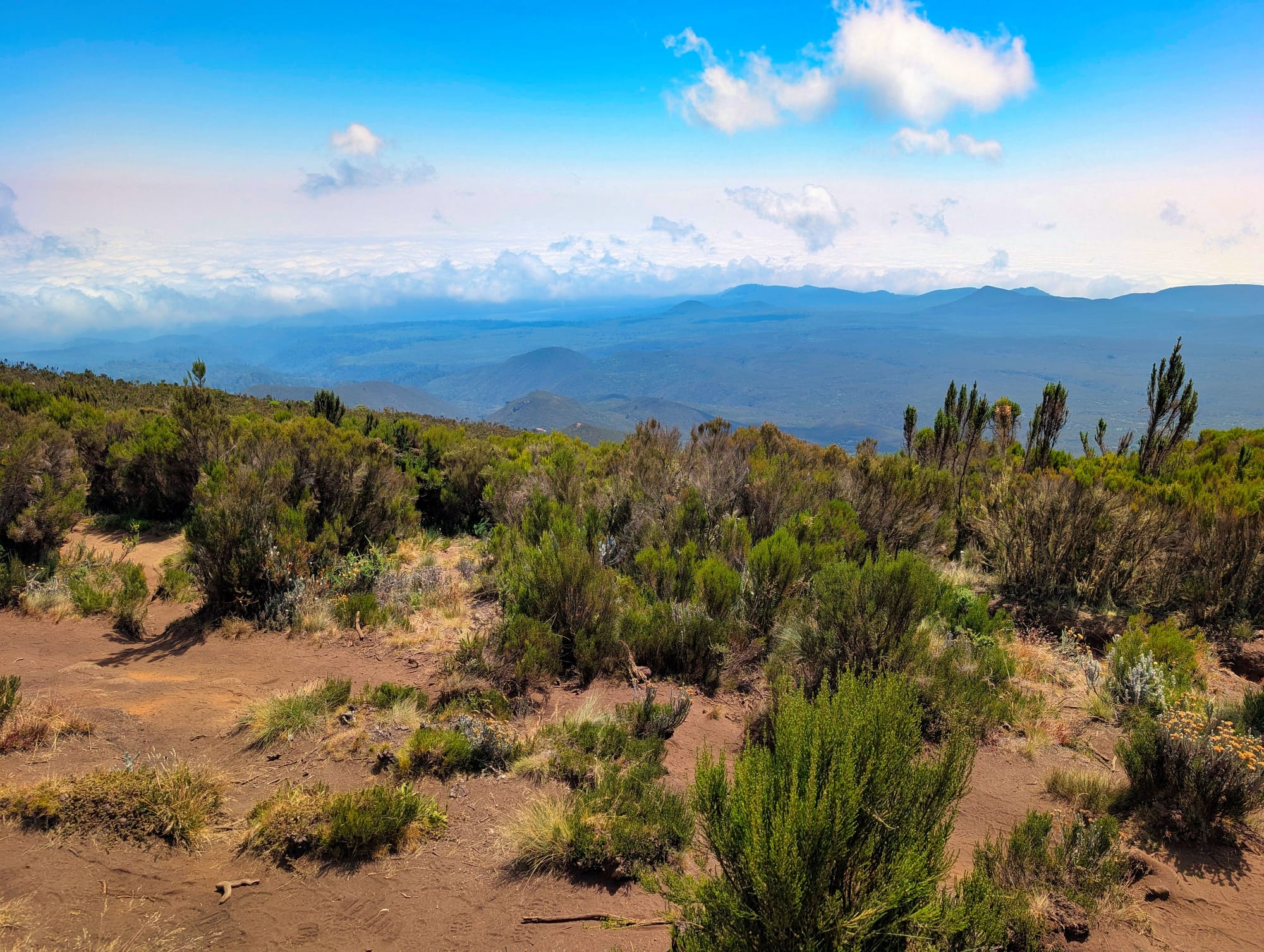
Where no trees grow any more, the view opens up
This stage is significantly more demanding than day one. Garmin records 9.40 kilometres, 936 metres of ascent and 214 metres of descent. That means it is not simply a climb of just under 700 net vertical metres. The trail rises steeply, drops again, then forces me to climb once more. The average gradient of the ascending 50-metre sections is around 12%, with the steepest such section reaching almost 38%. These changes were exactly what I significantly underestimated at first when preparing for the trip.
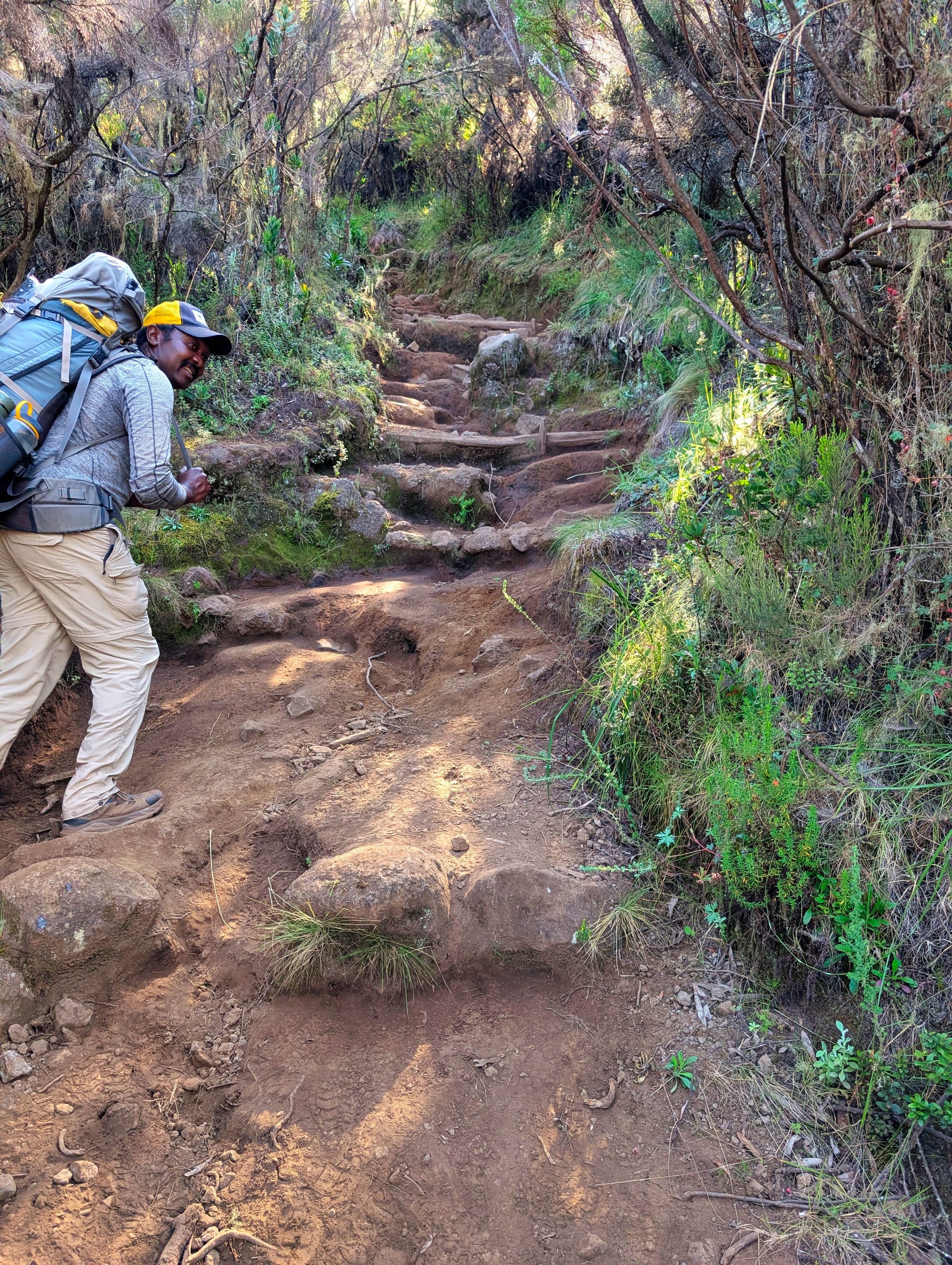
This is where my stair and stepper training really pays off. The effort is much closer to the long, repeated climbs from training than to a normal hike with a steady gradient. At the same time, I notice how sensible it is to keep the pace consistently low.
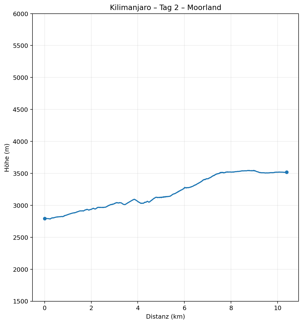
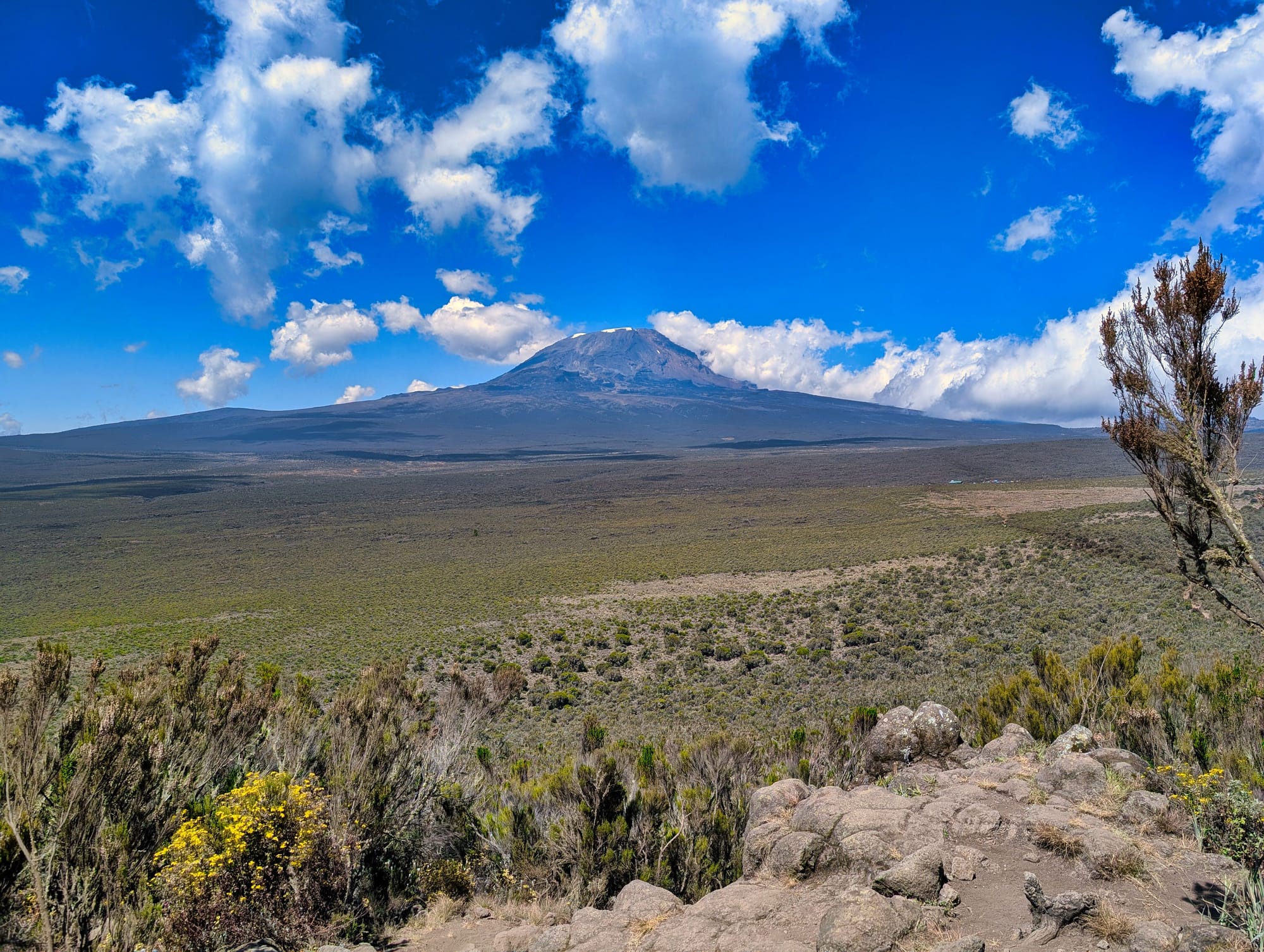
We keep heading upwards, and the climb seems never-ending until we turn a corner and an incredible view opens up across the Shira Plateau and towards the summit.
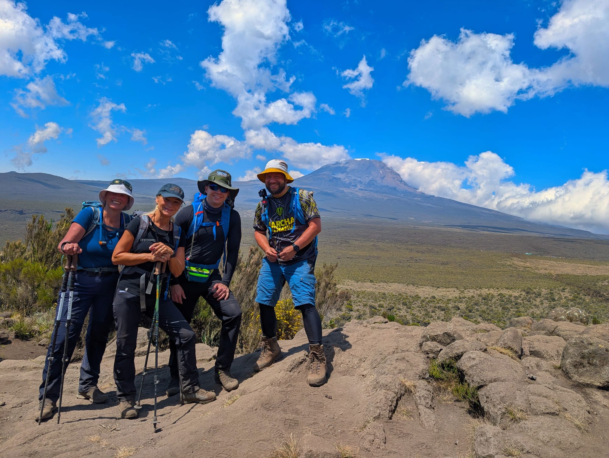
For the first time since arriving on the mountain, we see it in all its glory—and we will not take our eyes off it over the coming days.
Destination: Shira 1 Camp
Shira 1 sits on the western part of the Shira Plateau at around 3,500 metres. The camp is far more open and exposed to wind than Mti Mkubwa.
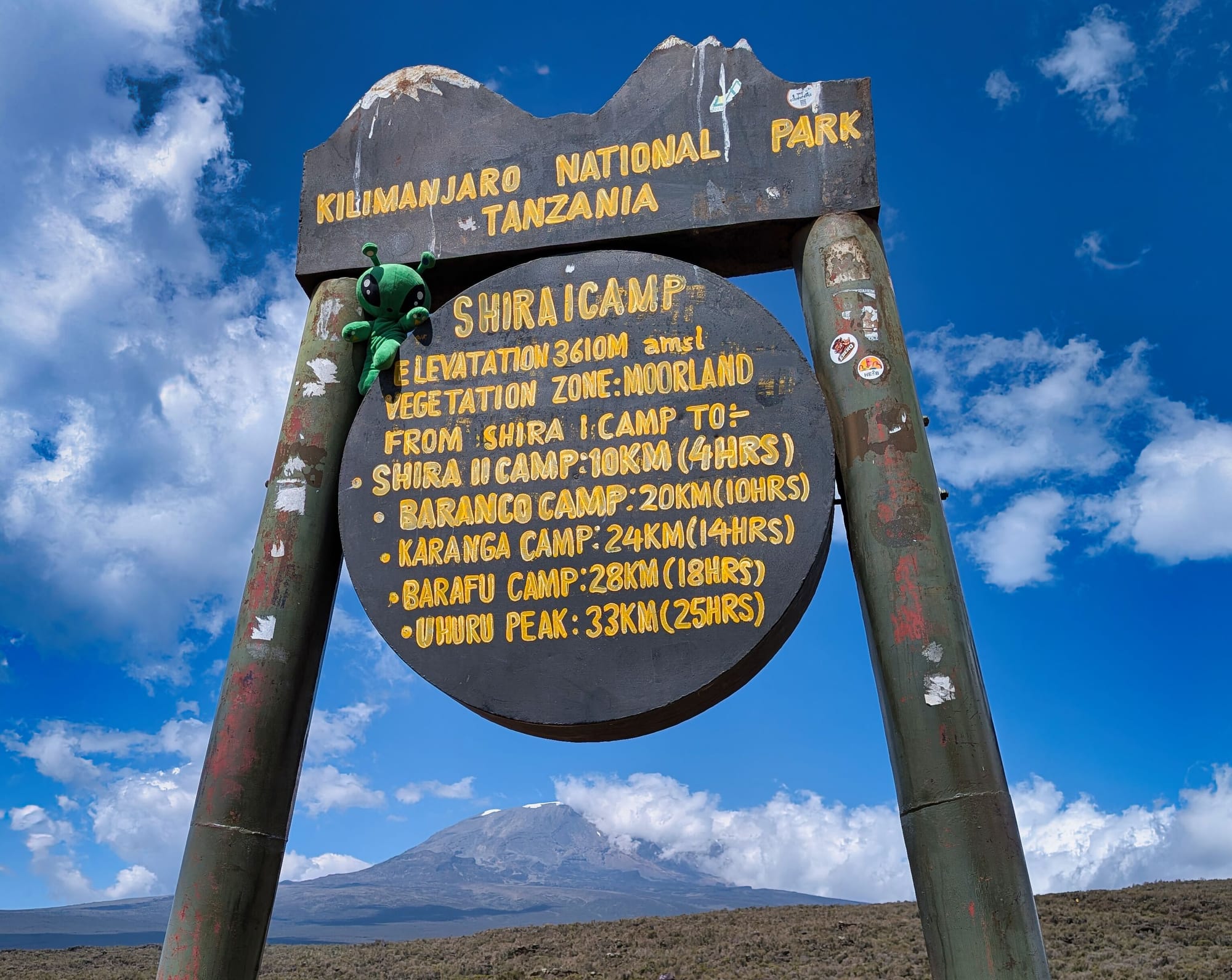
There are no sleeping huts, only tent pitches, along with a ranger hut and basic latrines. There is no permanent water supply; the crew gets water from a source beside the camp and treats it accordingly.
The difference from the forest camp is immediately noticeable. Up here, there is no protection from the trees.
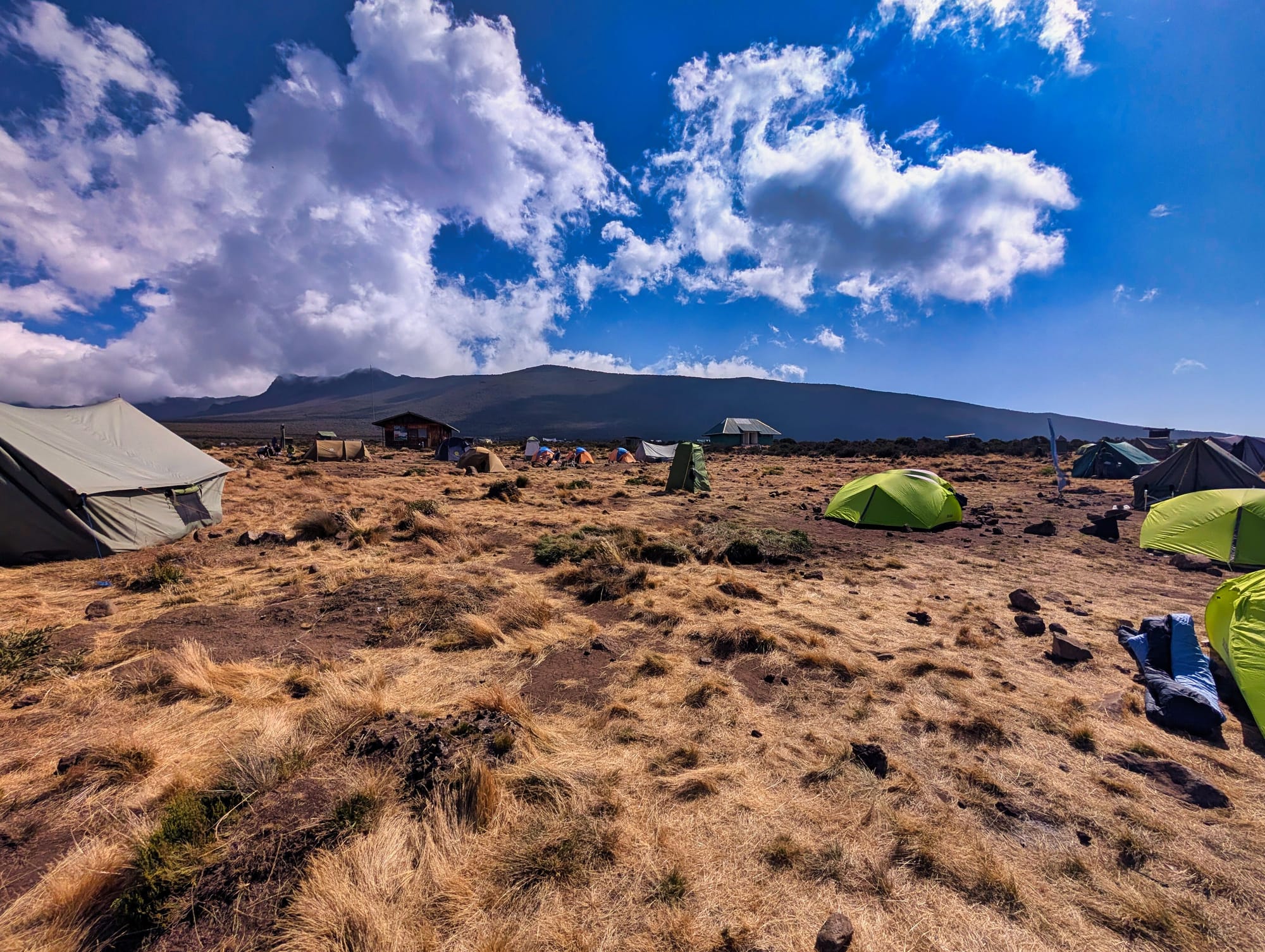
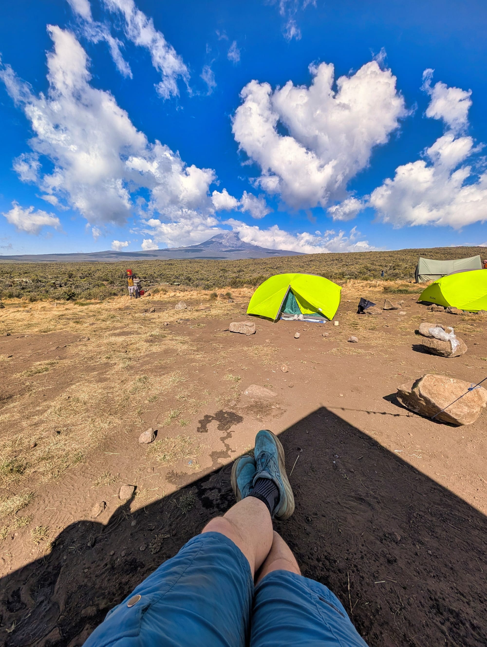
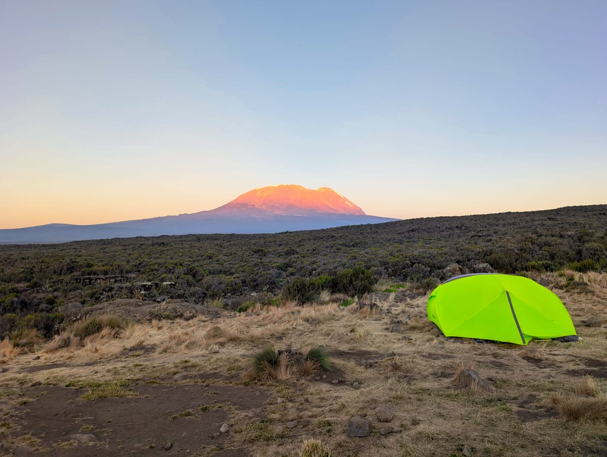
The open Shira 1 Camp and the magnificent panorama from my tent
Sun and wind hit the camp directly, and as soon as the sun disappears, the perceived temperature drops very quickly. Temperatures can still reach the low twenties in the afternoon, but within a short time it becomes bitterly cold in the evening. By around 7 pm, it is already pitch-dark, and we expect several degrees below zero overnight.
The camp is also where the whole crew officially introduces themselves. Suddenly, around 20 people are standing in front of us, all working to get us four guests up the mountain: two guides, a cook, a first aider and a whole group of porters.
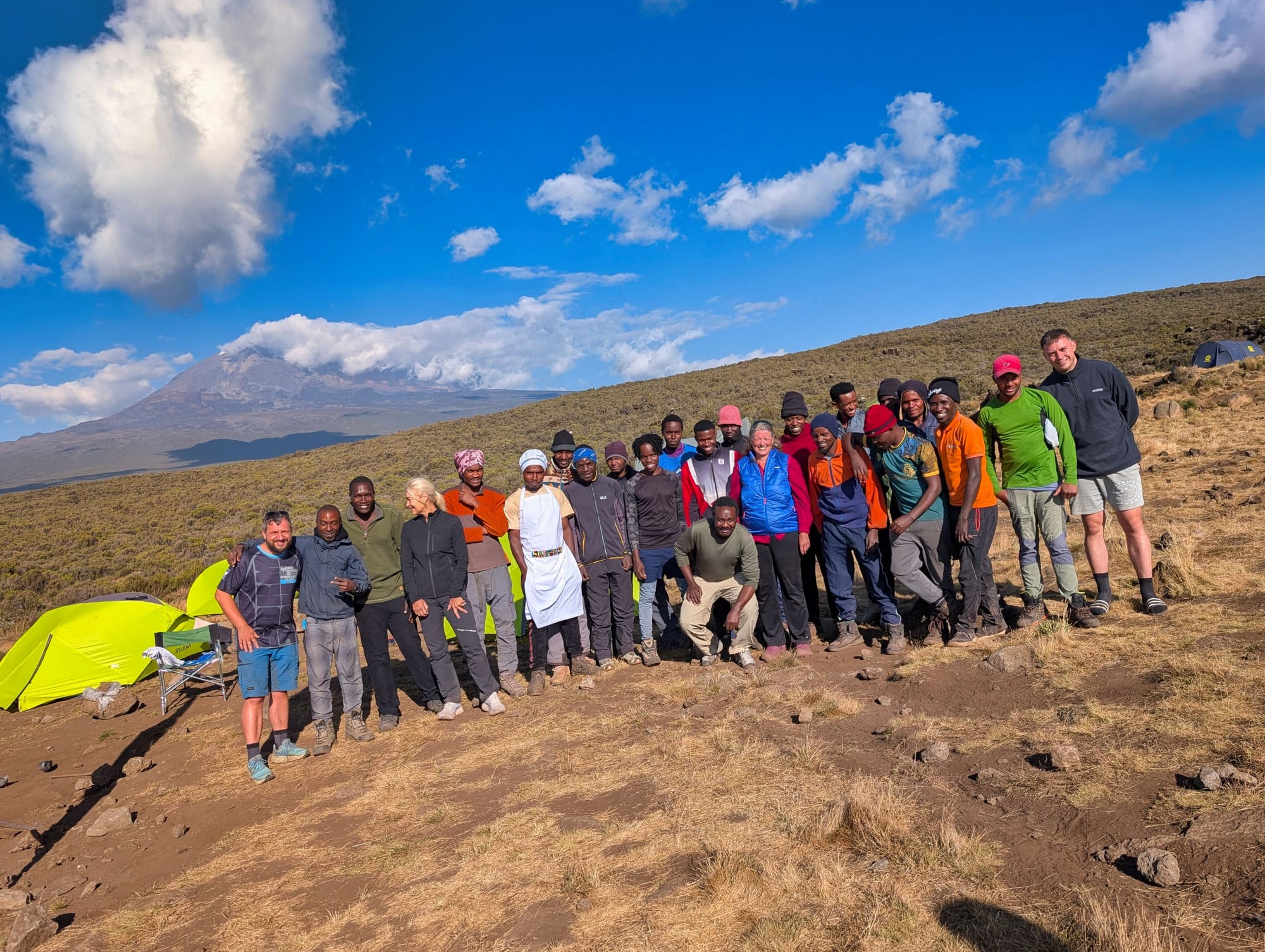
We four “flat-footed Europeans” would probably not get much farther than this without their support. We sing and clap together and take photos, and this social side of the trek impresses me more than I had expected.
The food is once again remarkably elaborate. At lunch, we have pasta with chicken wings. Dinner follows with soup, small wraps, fish and fried potatoes. On the trail, a porter even sets up a table where we can drink tea and coffee and eat biscuits. In the middle of this landscape, it feels almost absurdly luxurious.
My recap of the route
The second day is the first one that really challenges me. Before the trek, I did not expect the route to alternate so much between steep climbs and further climbs after descents. At the same time, my training works exactly where it needs to. My legs can handle the effort, and I do not feel physically overwhelmed.
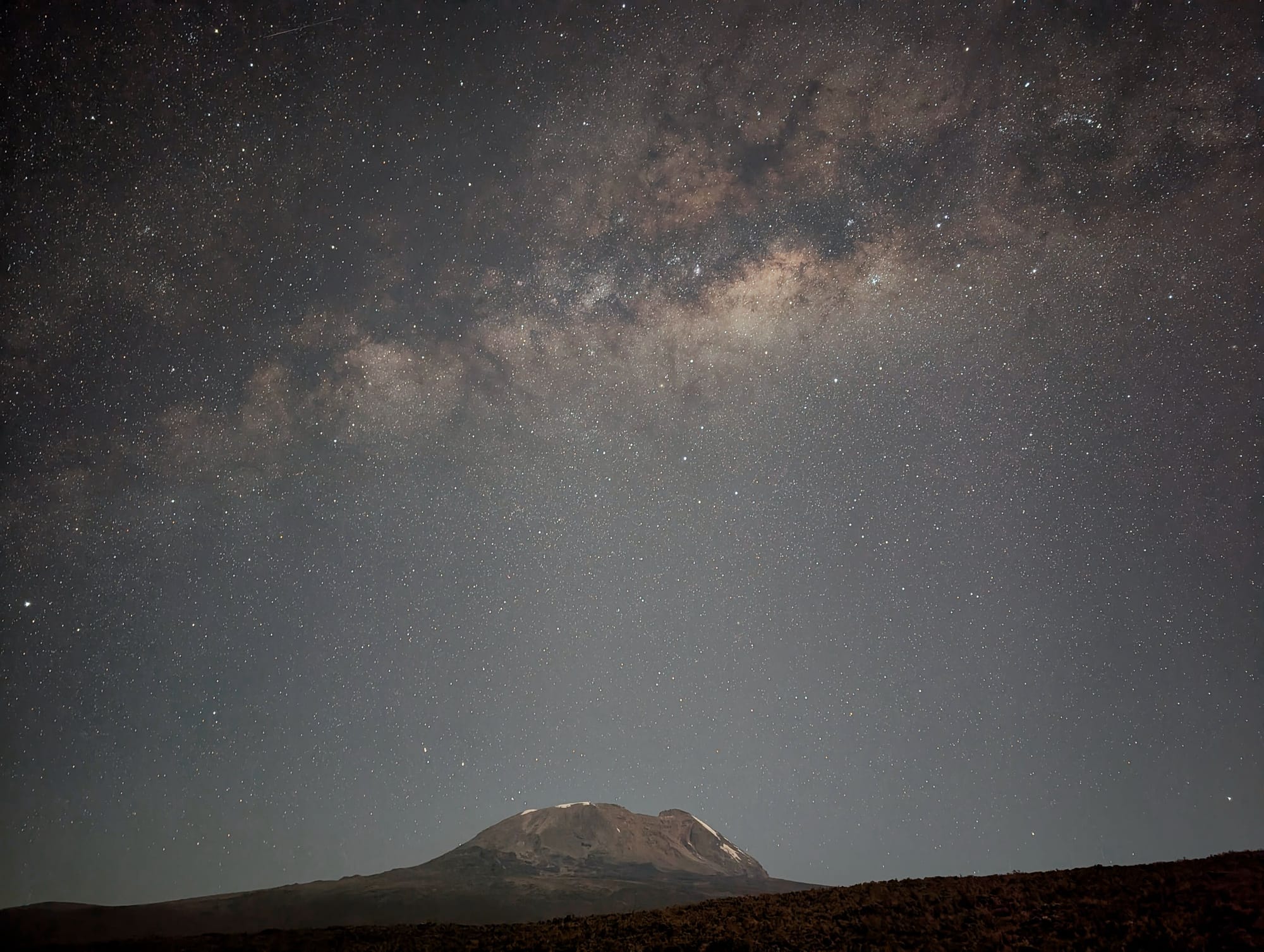
What occupies me almost more than the route that evening is the sky. Up here, there is extremely little light pollution. I would really like to go outside again and photograph the stars, but at first I decide against it because I do not want to get completely cold again after the long day. Once I am properly cold, it is surprisingly difficult to warm up again in the tent. In the end, though, I cannot pass up the opportunity for astrophotography after all ... luckily!
Health review
The altitude is now clearly measurable. My resting heart rate is around 95 beats per minute in the evening, significantly higher than at home. The more reliable Garmin daily reading for oxygen saturation is 85% at around 3,500 metres. This continues the expected trend: as altitude increases, the measured SpO₂ drops, while the body responds, among other things, with a higher pulse and heavier breathing.
During the activity, my heart rate averages 119 and peaks at 153 beats per minute. That initially seems plausible for a six-hour stage with almost 1,000 metres of ascent. Subjectively, I still feel well enough that altitude is not yet the central problem. But it has definitely arrived.
The other health issue is the sun. Although I wear a sun hat, sunglasses, long trousers and SPF 50, and reapply sunscreen, by evening I feel as if I have burned the back of my neck. The air is cool enough that the sun’s intensity is not immediately obvious. That is exactly what makes it dangerous: you do not feel as if you are on a hot day at the beach, but you are exposed to considerably more UV radiation.
Gear
On my legs, my combination of running tights and hiking shorts remains surprisingly comfortable. It is neither too warm nor too cold, while also reducing the area I need to apply sunscreen to. In the morning, I initially still wear a fleece jacket on my upper body, but take it off as soon as the sun brings warmth. I also wear a sun hat and category 4 sunglasses.
Today’s most important gear point is less about a single product than temperature management. In the open terrain, the sensation changes very quickly between warmth in the sun and cold in the shade or wind. I am beginning to understand that I cannot simply dress “warm” or “light”—I have to keep adapting.
And the back of my neck shows me that the sun hat alone is not enough. When I walk uphill slightly bent forwards, my neck is partly exposed. A Buff will therefore become very useful additional sun protection over the next few days.
Join the conversation
Become a member of One More Step to leave a comment.