
Kilimanjaro – Day 4: Via Lava Tower to Barranco Camp
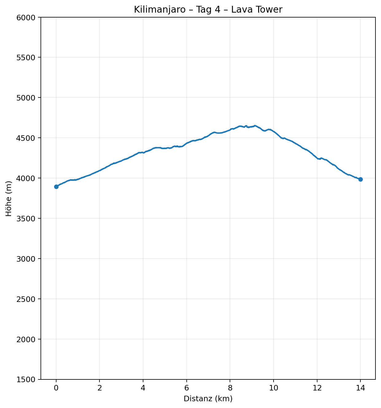
The route’s key acclimatisation day takes me to 4,651 metres at Lava Tower before descending almost 700 metres again. It is one of the most varied days for scenery, while my first significant headache begins at the high point.
Overview
- Date: 22 July 2026
- Route: Shira 2 → Lava Tower → Barranco Camp
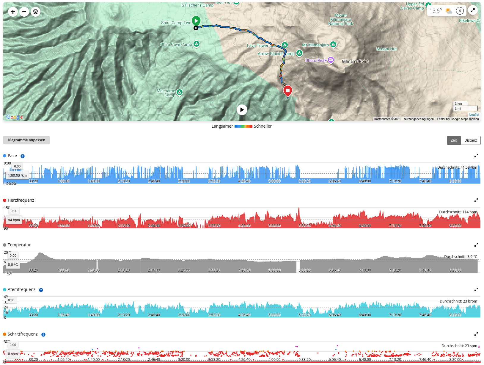
- Distance: 12.58 km
- Elevation gain/loss: ↑ 865 m · ↓ 775 m
- Recorded duration: 8:47 h
- Garmin calories burned: 2,158 kcal
- Elevation:
- Start 3,895 m
- highest point 4,651 m
- Finish, Barranco Camp: approx. 3,970 m
- Uphill gradient: avg. 10.6% / max. 25.7% over 50 m sections
- Downhill gradient: avg. 13.1% / max. 33.3% over 50 m sections
- Heart rate: avg. 114 / max. 150 bpm
- Temperature at backpack sensor: 0–19 °C
- Pulse Ox / SpO₂: 84% at 3,958 m
Route and scenery
Today makes it very clear why simply stating a stage’s start and finish elevation can be completely misleading. I set off from Shira 2 Camp at just under 3,900 metres and reach Barranco Camp in the evening, also just under or around 4,000 metres. So in net terms, almost nothing happens. But in between lie 12.58 kilometres, 865 metres of ascent, 775 metres of descent and, at 4,651 metres, my highest point so far.
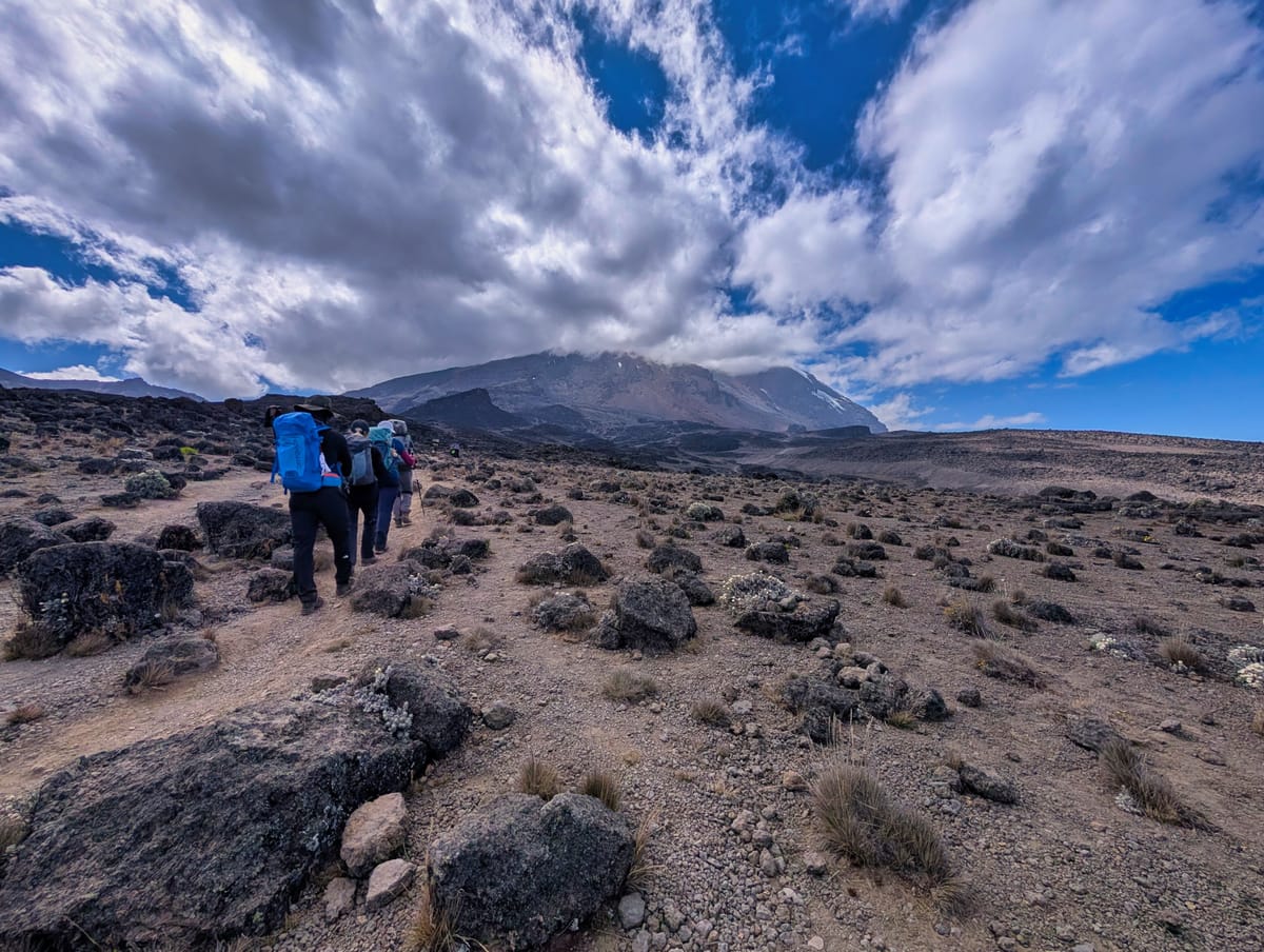
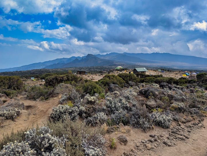
The first section leads out of the upper moorland and ever deeper into the alpine, almost semi-desert zone.
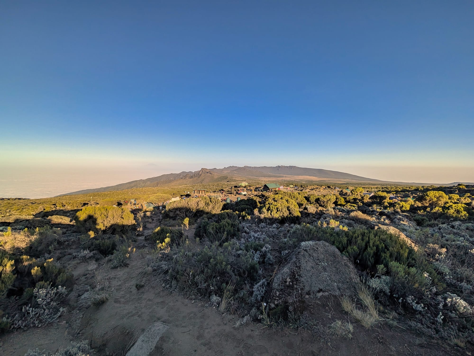
The vegetation thins out with every metre of elevation until, around Lava Tower, there is almost nothing left but volcanic rock, scree and dust. This transition in particular is spectacular because you do not see the treeline as an abstract line on a map—you literally walk through it within just a few hours.
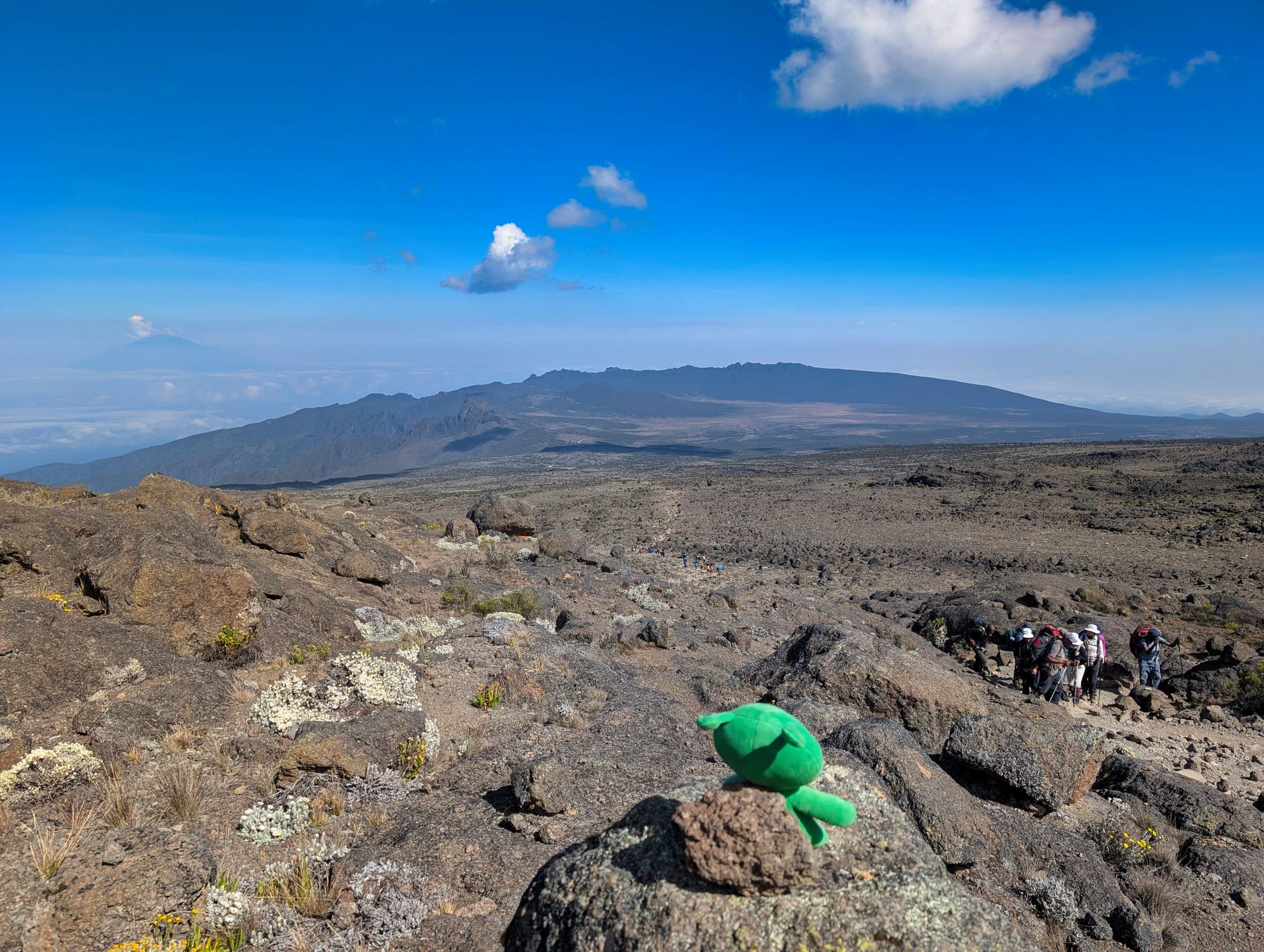
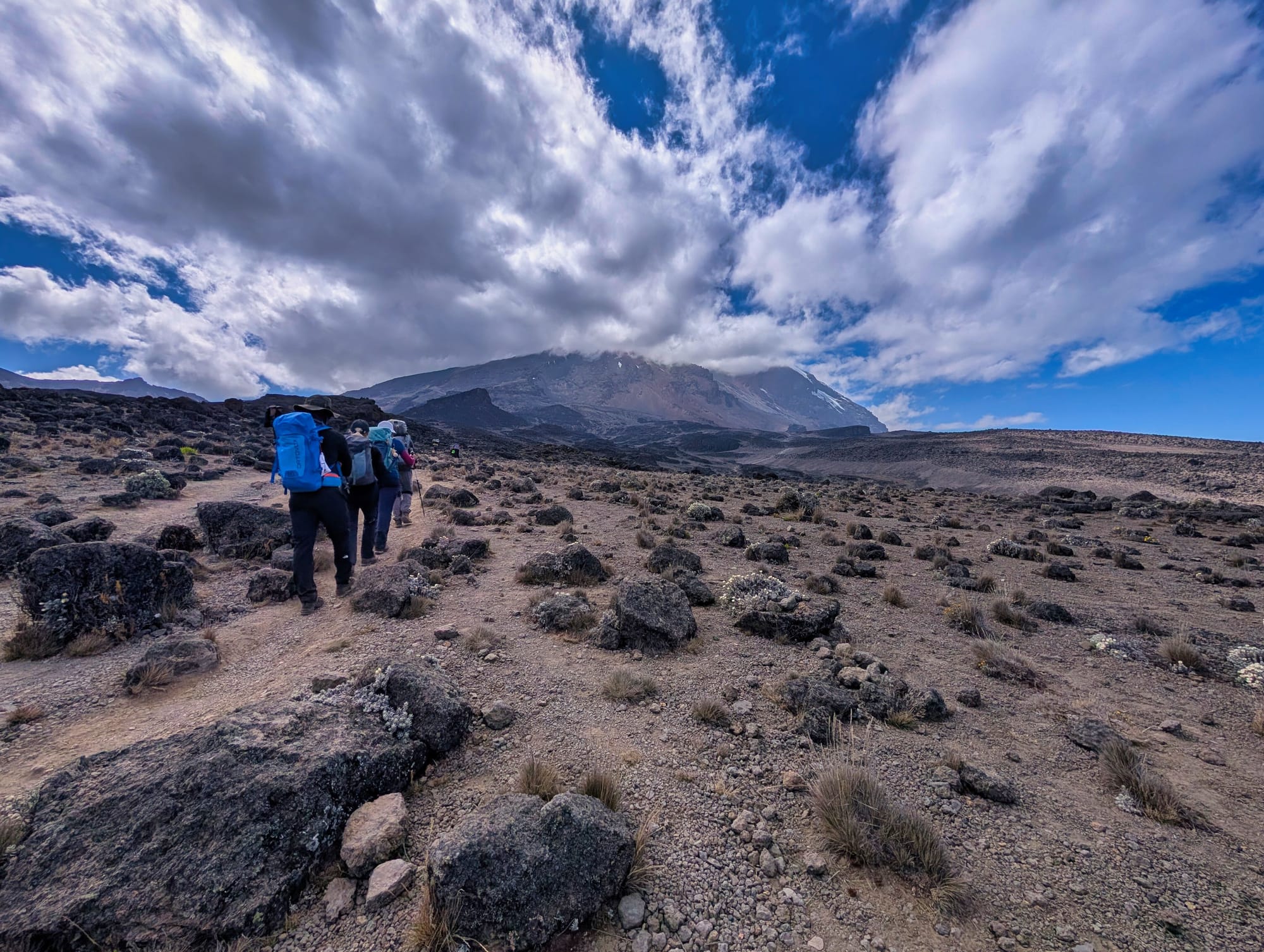
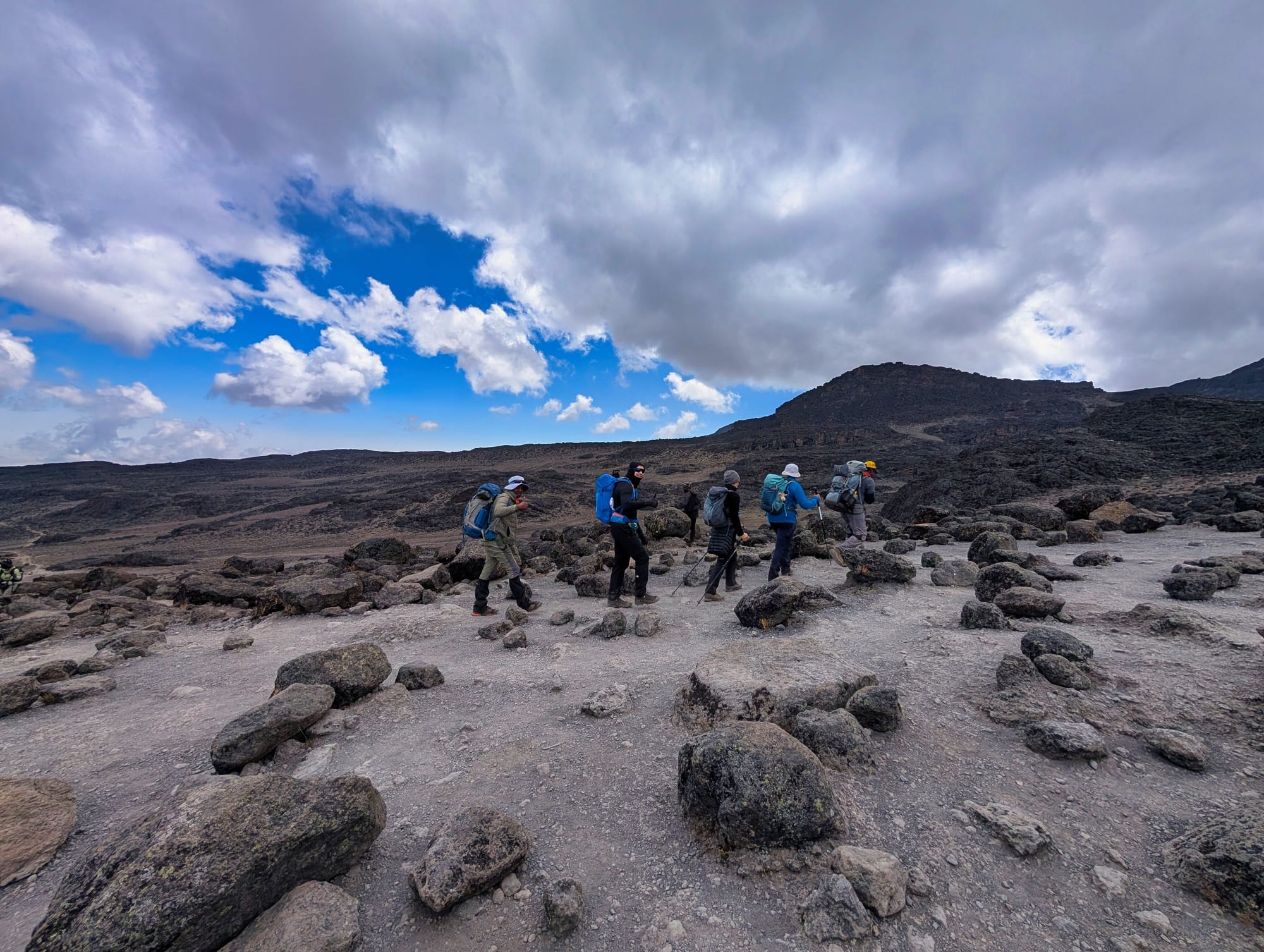
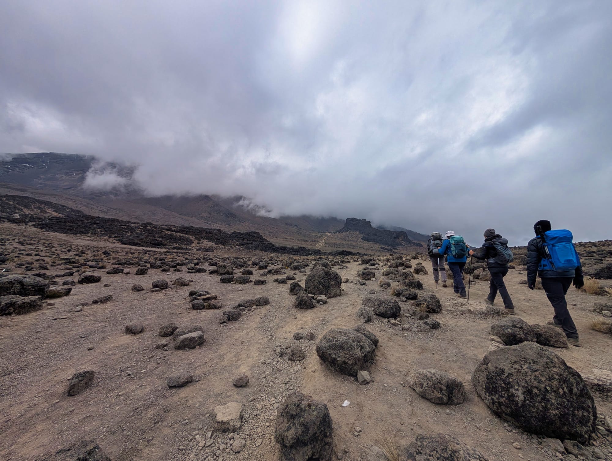
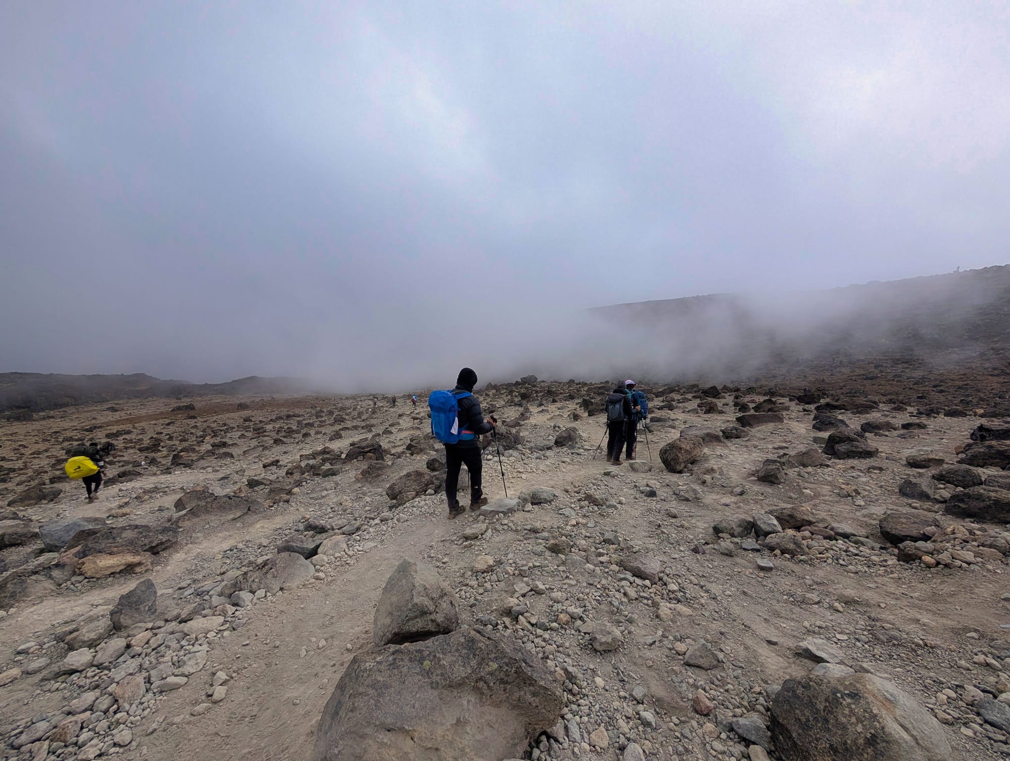
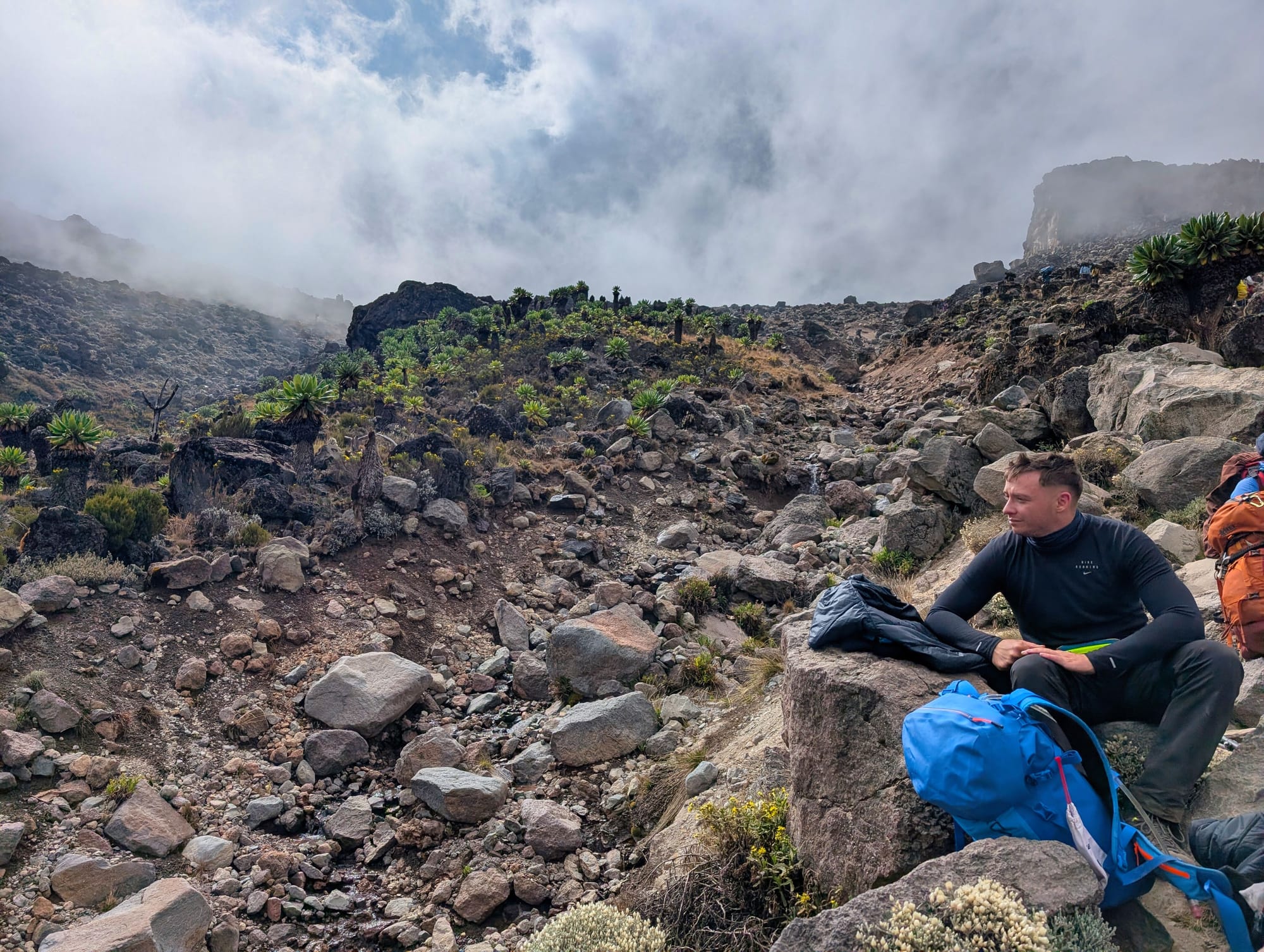
Before long, it turns grey and rocky as we walk into the clouds
The ascent is long and deliberately slow. At times, the pace feels almost unbearably slow, but that is exactly what works: as long as we consistently go “Pole Pole”, breathing and legs do not initially cause any major problems.
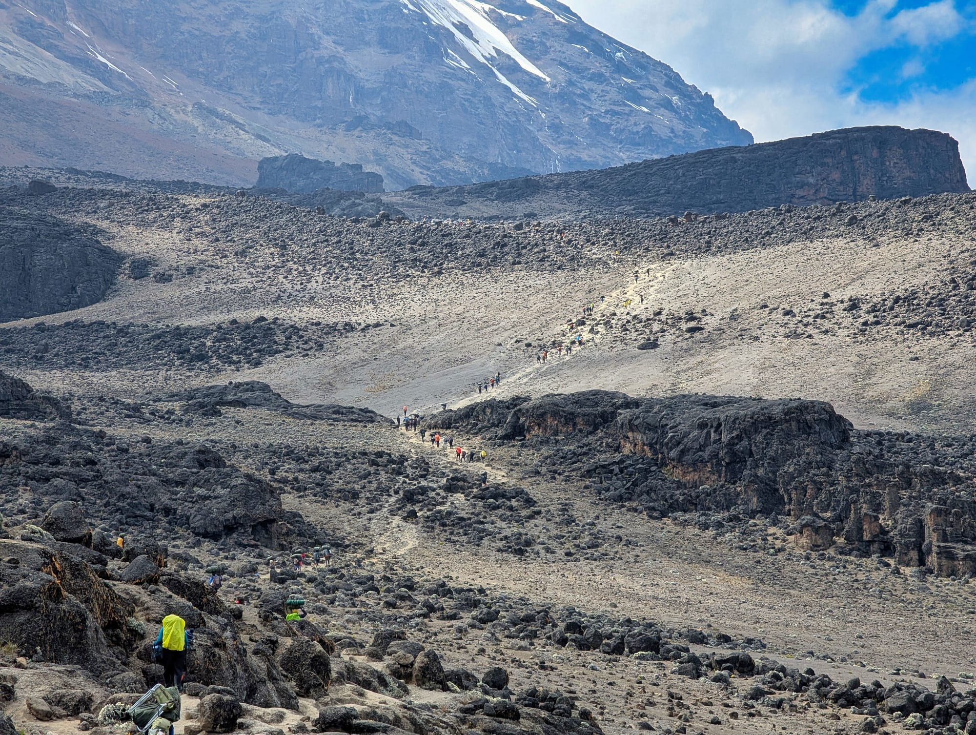
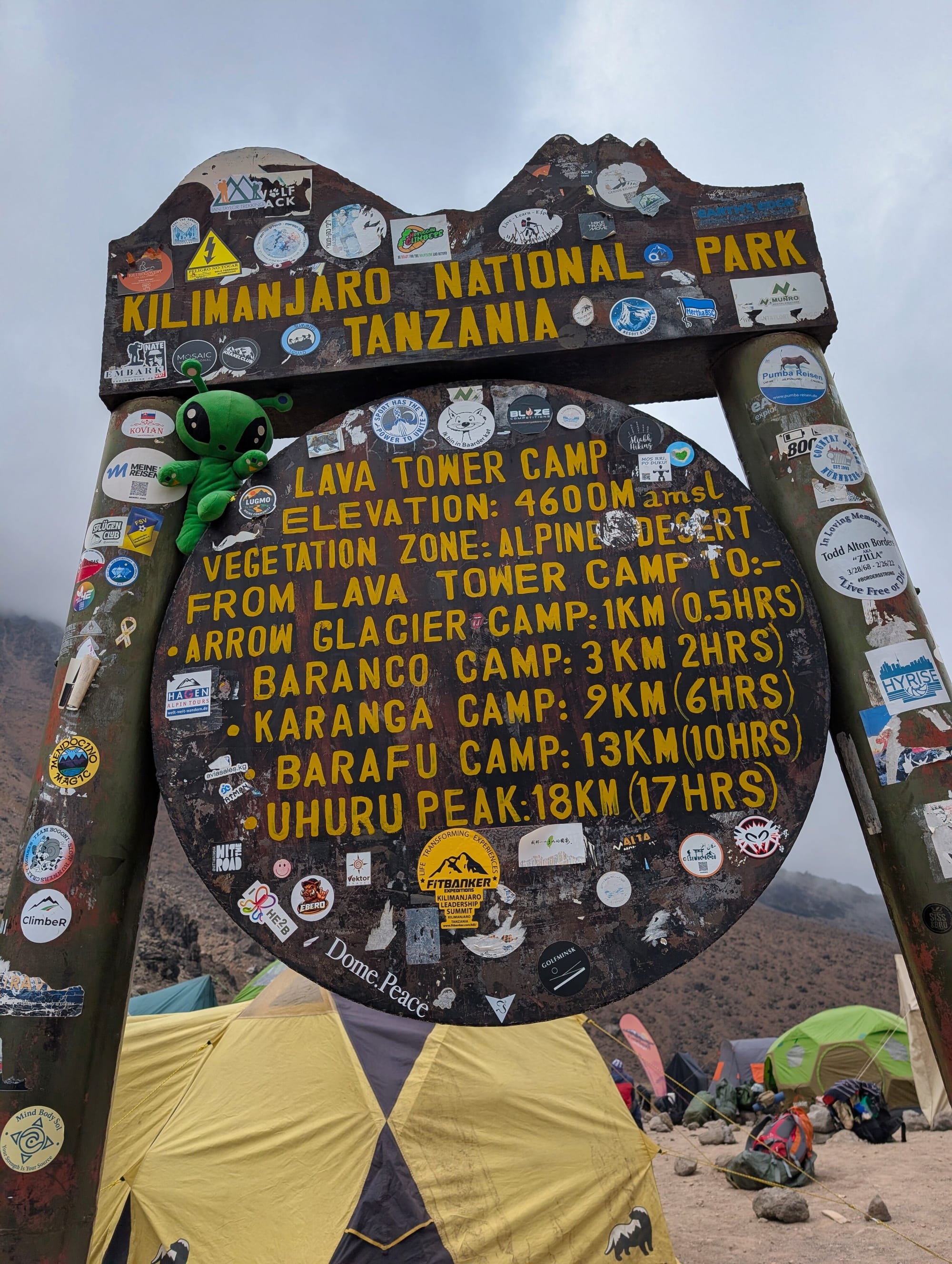
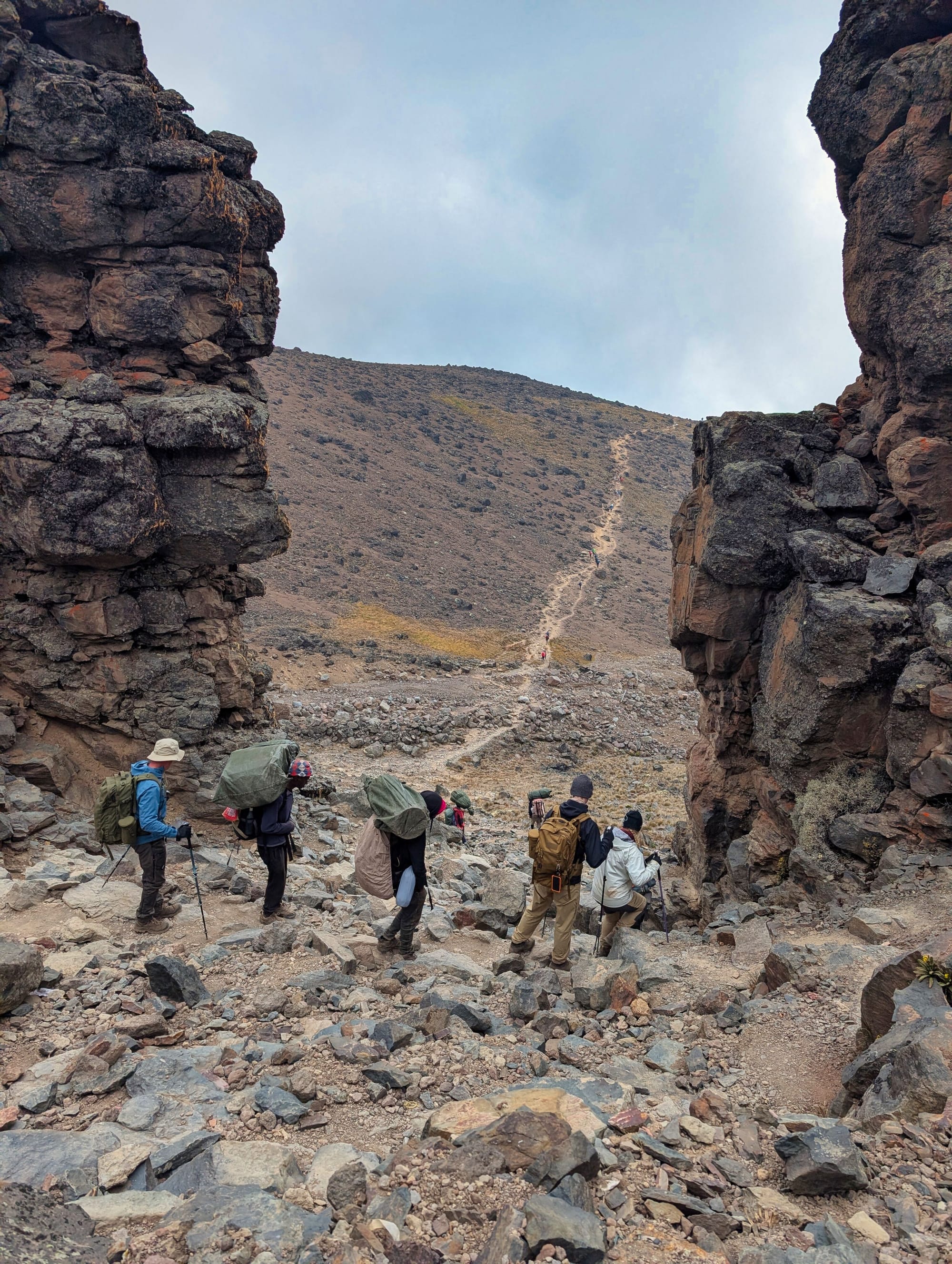
Around midday, we reach Lava Tower, the highest point of our journey so far... ...and you can feel it
After Lava Tower, the character of the stage changes. The descent is steep and not technically a climbing problem, but with an average gradient of just over 13% in the descending 50-metre sections and peaks above 33%, it is considerably more demanding than “it’s only downhill” would suggest. Here, trekking poles are no longer just decoration for me; they make a noticeable difference to stability and load distribution.
On the descent, the vegetation returns. We descend into cloud banks and green-covered terrain.
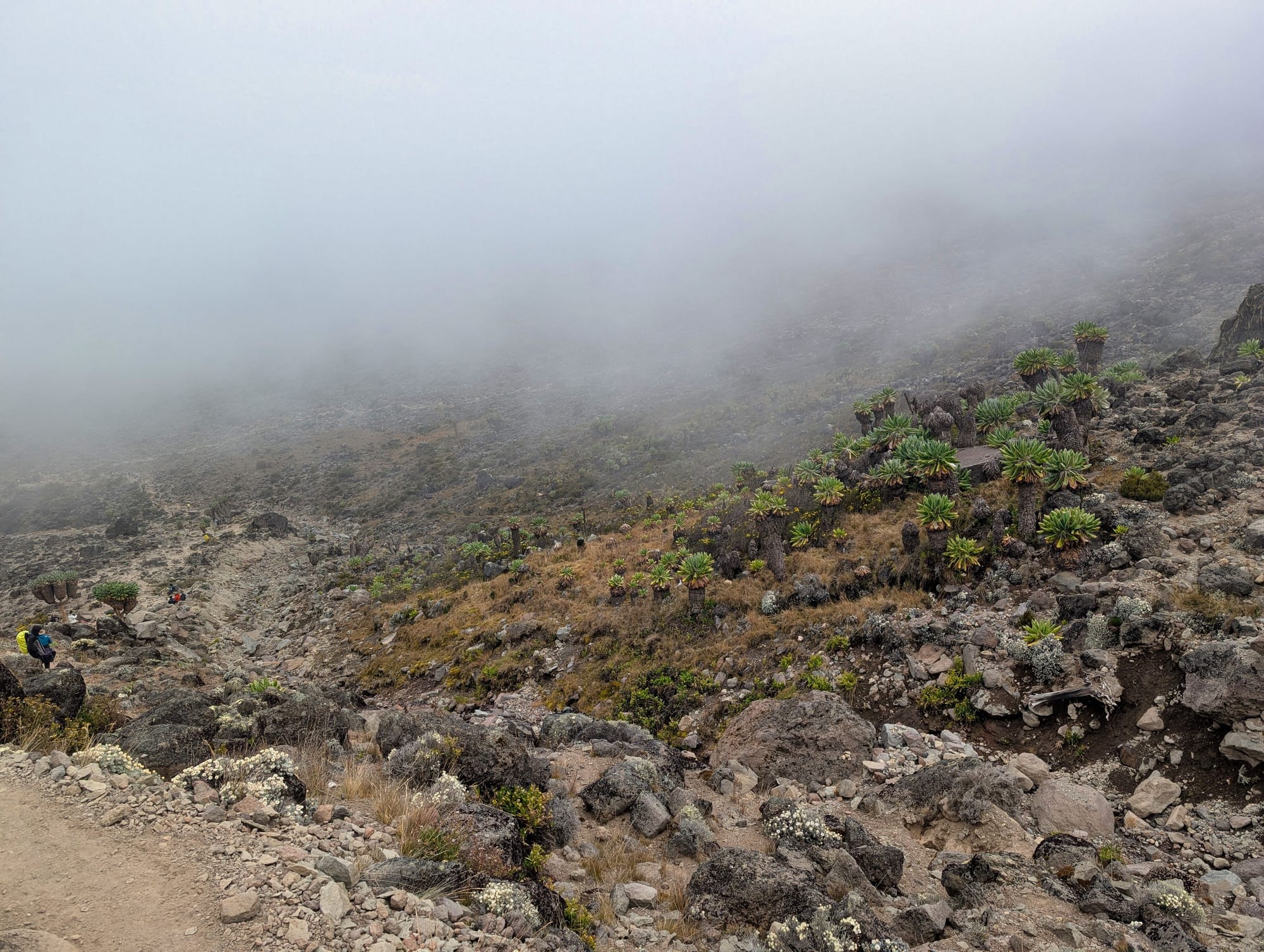
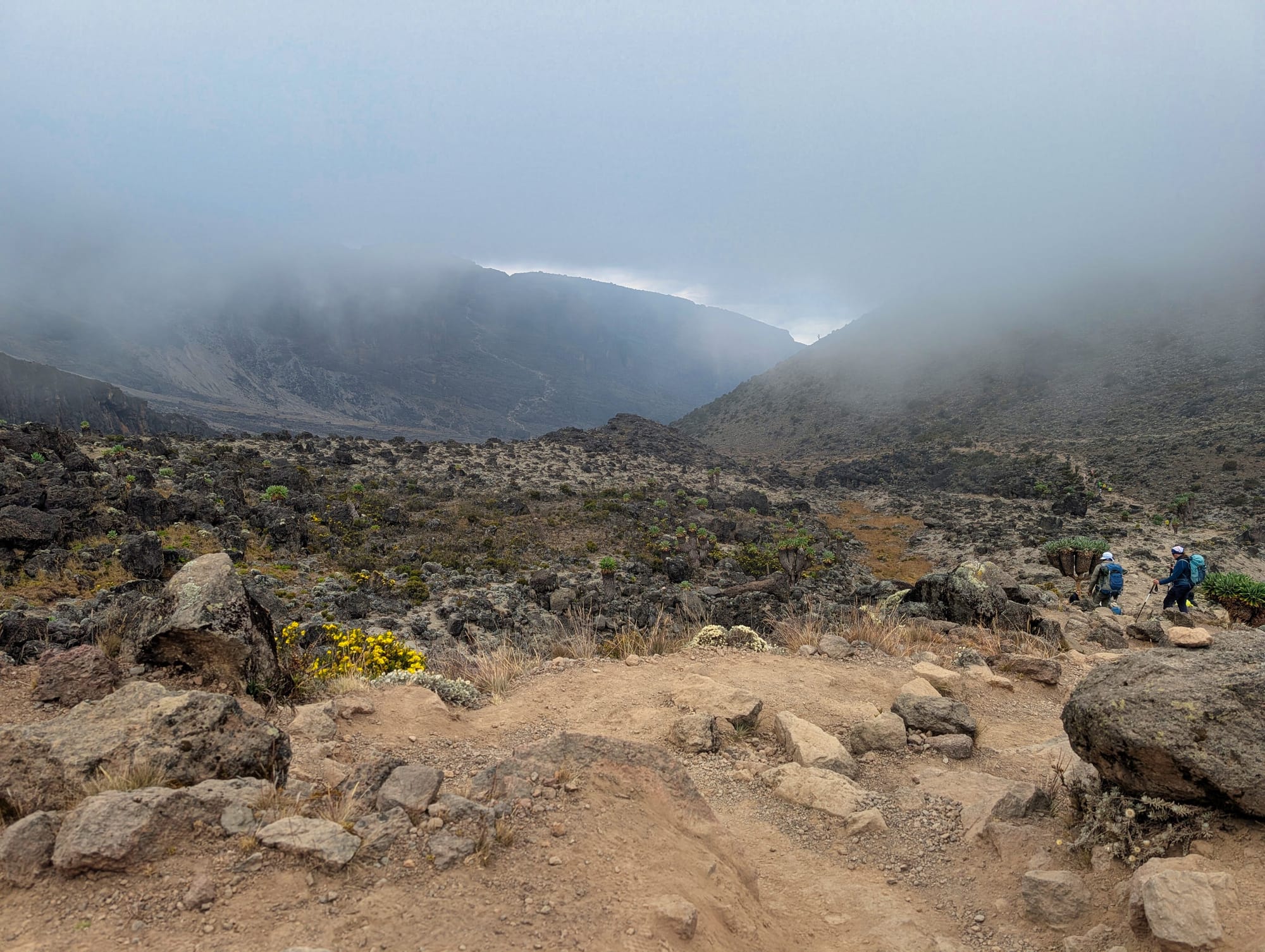
It becomes “greener” again, and the Baranco Wall appears on the horizon
Around Barranco Valley, distinctive Afro-alpine plants grow again, including the striking giant senecios. After hours in a grey rocky desert, the increasing vegetation feels almost surprisingly lush.
Stopover: Lava Tower · Destination: Barranco Camp
For our version of the route, Lava Tower is less a classic overnight camp than an important stopover. At roughly 4,600 metres, it is one of the key “climb high, sleep low” points on the Lemosho Route: we spend time considerably higher than our later sleeping altitude before descending again. My GPS records 4,651 metres at the high point.
Barranco Camp lies at the foot of the famous Barranco Wall, at around 3,960 to 3,980 metres. It is a larger tent camp because several routes and groups converge here. There is a ranger hut and basic public toilet facilities; everyone sleeps in tents. Water is taken from the valley or a nearby watercourse, brought to camp by the crew and treated.
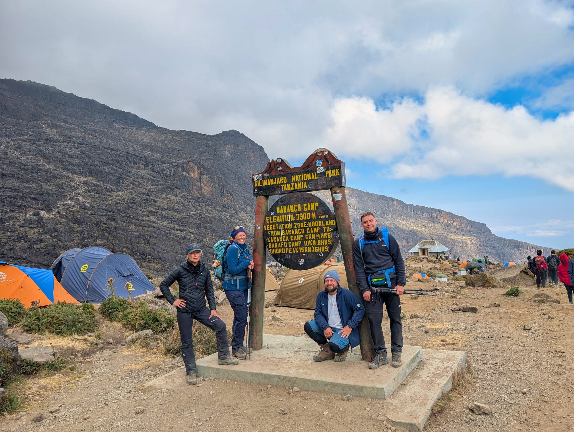
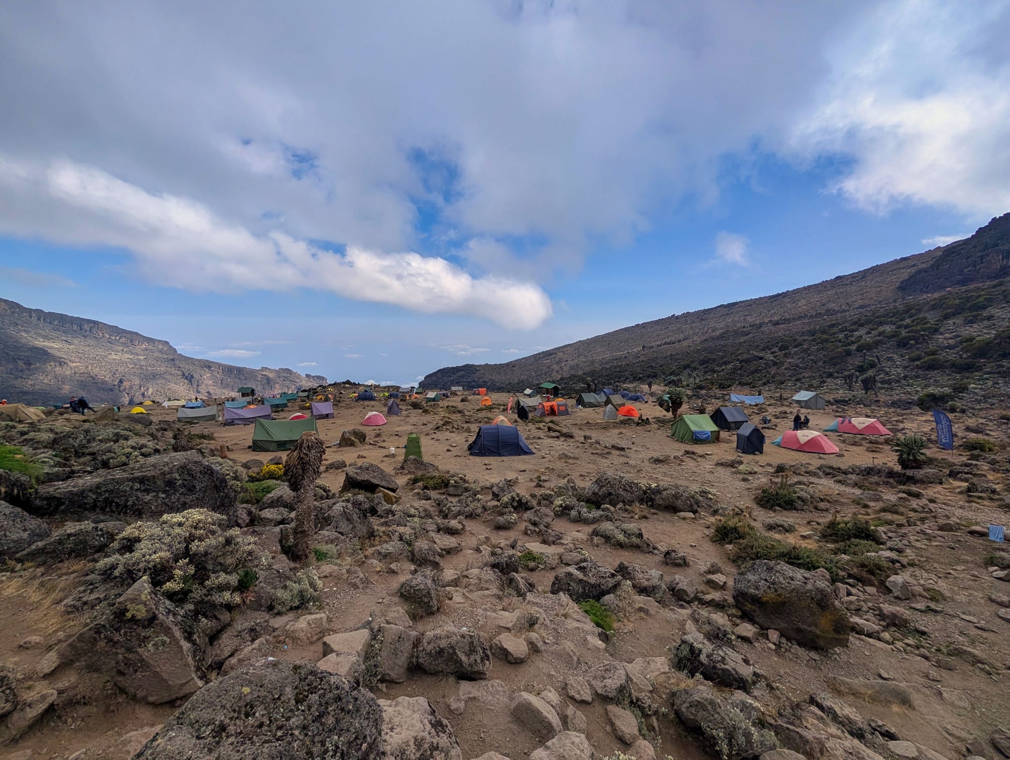
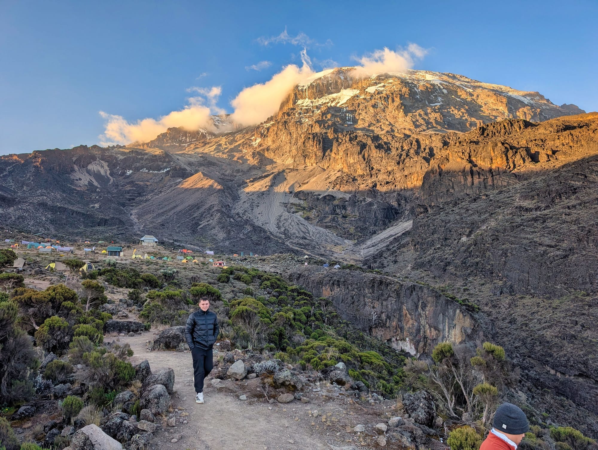
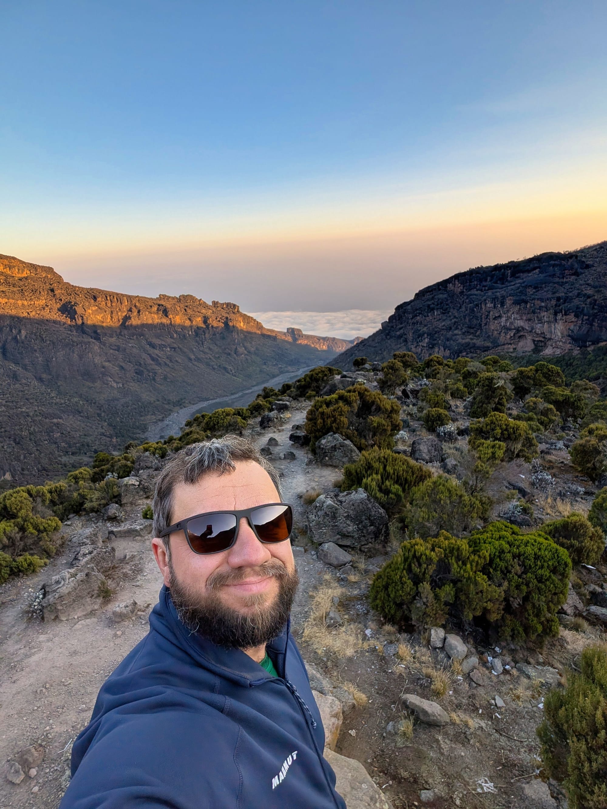
Baranco Camp
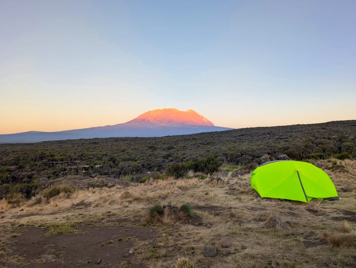
The setting is spectacular. The Barranco Wall rises directly above camp. From the front, it looks like a massive wall—and therefore exactly like the kind of thing I respect because of my fear of heights. Interestingly, from the side we approach it from, it looks much less intimidating—more like a very steep trail. That reassures me at least a little.
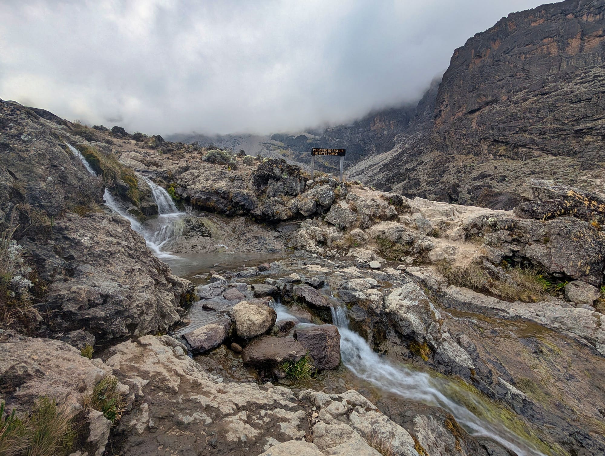
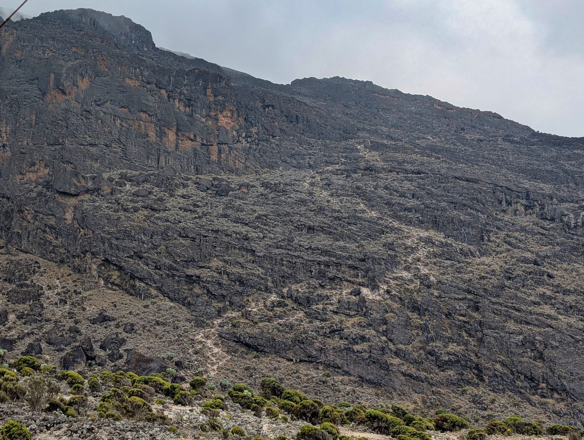

Views of the next day
My route recap
Scenically, this has been one of the best days so far for me. Over just a few kilometres, the route shows almost the entire transition from moorland to barren alpine desert and back into more vegetated terrain. At the same time, it is long: nearly nine hours of recorded time and more than 2,100 kilocalories estimated by Garmin are a clear step up from the first days.
Walking and chatting together works well with Michi and Andrea. For me, the distraction of conversation is particularly helpful on long, demanding stages. I already know that from extreme hikes.
I continue to take lots of photos and videos, though mostly as I walk. I do not want to hold up the group, so I often simply press the shutter and hope something usable comes out later. That probably produces a lot of rejects, but it also makes for a very immediate record of the tour.
Health review
The ascent to Lava Tower initially goes surprisingly well. It is only right at or around the highest point that I develop much stronger headaches. I take Tomapyrin and hope they will disappear again on the descent. The way down is more unpleasant as a result, because the physical strain is joined by the feeling of being less focused. That is not a good combination, especially on steep, uneven sections.
In the evening, Garmin records an oxygen saturation of 84% for the day at around 3,958 metres. After 82% the previous day, at least it is not a further drop. My breathing rate is now also significantly elevated; in my notes, I record roughly 22 breaths per minute. When speaking, I notice very clearly how much more often I need to catch my breath.
Garmin also shows its own altitude acclimatisation rating, indicating roughly 2,150 metres or 42% adaptation to 4,000 metres. I do not take that figure as medical fact, but psychologically it reassures me. At the same time, I am annoyed that, from my perspective, the guides’ announced regular health checks are not taking place in the form I expected. I monitor my data myself, but of course not everyone has a watch or knows how to interpret such readings.
Today, I drink around five litres. As expected, that means a lot of toilet breaks, but it seems sensible to me at this altitude.
Gear
The weather makes choosing what to wear increasingly complicated. The previous night is around minus three degrees. In the morning, the temperature quickly rises to about eight degrees; as soon as the sun comes out, it feels considerably warmer, and when it disappears again, it immediately turns cold. There is therefore virtually no single “right” clothing combination.
For the upcoming Barranco Wall, I therefore plan very deliberately: a short-sleeved thermal base layer, a long-sleeved merino top, fleece, several long layers on my legs, a wool hat and liner gloves for the cold start. A sun hat and other lighter options will be within easy reach in my daypack. The Wall remains in the shade for a long time in the morning, while strong sun awaits later.
Two other gear details unexpectedly become important today. First: wet wipes. Daily washing with a bowl of water basically works, but in the fine dust, you quickly feel as though you are spreading the dirt around rather than removing it. Second: power. I have four 10,000 mAh power banks and an additional 20,000 mAh one with me, and before the trip I thought 60,000 mAh would be completely excessive. By now, it looks as though that might just be enough for my smartphone, Garmin, photography and video for the entire tour.
Join the conversation
Become a member of One More Step to leave a comment.