
Why I’m Climbing Kilimanjaro: The Moment Behind Project-K
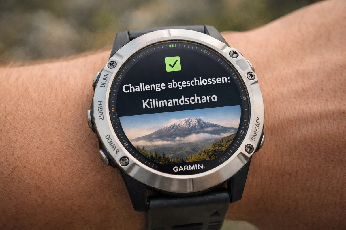
A Garmin notification sparked an idea that could become my next big project – climbing Kilimanjaro.
The Trigger
It was really nothing more than a push notification from my smartwatch on Christmas Day.
Challenge completed: Kilimanjaro
No summit, no ice, no Uhuru Peak. Nothing.
Just a watch telling me during a walk: With the elevation gain you’ve accumulated over the past few months, you’ve theoretically climbed Kilimanjaro.
I was sitting in the car, somewhere between the Spreewald and home. Christmas. Silence. Empty roads.
And suddenly, I couldn’t stop thinking about that notification.
Not euphoric.
Not loud.
Just quiet. Heavy. Persistent.
- What kind of mountain is it?
- Where is it?
- What makes it special?
- What if this were more than just a statistic?
- What if I actually did it?
I immediately started researching. Not in a structured way. Not sensibly. Just out of curiosity.
Random Google searches. Videos. Routes. Elevation profiles. Pictures of people who looked exhausted. Happy. Broken.
I was hooked.
And at the same time, I had absolutely no idea what I was getting myself into.
This was the moment when a small notification turned into an idea.
And an idea turned into a project.
But first, the facts:
Kilimanjaro – Facts & Conditions
What Is Kilimanjaro?
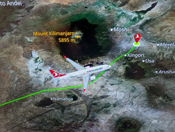
Kilimanjaro is a vast mountain massif in northeastern Tanzania. At 5,895 metres above sea level, it is considered the highest mountain in Africa and the fourth-highest of the Seven Summits – the highest peak on each continent. This also makes it significantly higher than any mountain in Europe, Australia, or Antarctica. It is generally regarded as the highest free-standing mountain in the world.
Kilimanjaro is a stratovolcano with three main volcanic cones: Shira, Mawenzi, and Kibo, the highest of the three. The rim of Kibo’s crater is home to Uhuru Peak, the highest point on the African continent. Wikipedia
Location & Protected Area
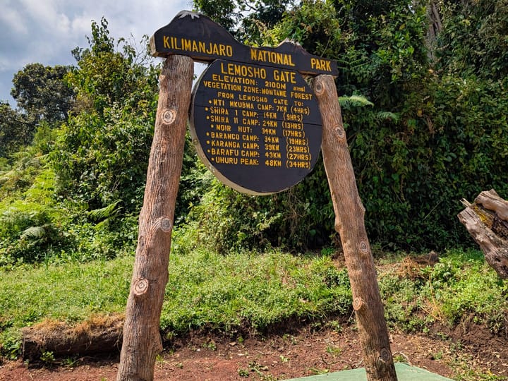
The mountain lies near the Kenyan border within Kilimanjaro National Park, which has been designated a UNESCO World Heritage Site since 1987.
Elevation & Characteristics
- Elevation: 5,895 m at Uhuru Peak – the highest point in Africa.
- Type: Volcanic mountain massif and stratovolcano, formed through tectonic activity along the East African Rift.
- Glaciers: Glaciers and ice fields still remain near the summit, but they are shrinking rapidly as a result of climate change.
Climate Zones
On the way to the summit, climbers pass through five distinctly different climate zones – similar to travelling from the equator to the Arctic within just a few days:
- Cultivation zone (approx. 800–1,800 m): Tropically warm and used for agriculture.
- Rainforest zone (approx. 1,800–2,800 m): Humid, with dense vegetation and abundant wildlife.
- Heath and moorland zone (approx. 2,800–4,000 m): Cooler, with open landscapes and heath vegetation.
- Alpine desert (approx. 4,000–5,000 m): Extremely dry, with dramatic fluctuations in temperature and weather.
- Arctic zone (approx. 5,000–5,895 m): Icy, with temperatures often far below 0°C and almost no life.
Temperatures
- At the foot of the mountain, daytime temperatures can often reach 20–30°C.
- Temperatures drop sharply with increasing altitude. At night, temperatures near the summit can fall to −10°C or well below −20°C.
Challenges & Dangers
- Altitude sickness (AMS): With air pressure and oxygen levels decreasing dramatically at higher elevations, proper acclimatisation is essential.
- Rapid weather changes: Conditions can shift quickly between rain, heat, and extreme cold.
- Glaciers & snow: Ice near the summit can be slippery and dangerous. It is also becoming increasingly unstable as a result of climate change.
- Accidents: In emergencies, even technical means such as helicopter evacuations may be required – accidents do happen.
Join the conversation
Become a member of One More Step to leave a comment.